boundaries
Type of resources
Available actions
Topics
INSPIRE themes
Keywords
Contact for the resource
Provided by
Years
Formats
Representation types
Update frequencies
status
-

-
Maritime zones as defined by the INSPIRE Directive("A belt of sea defined by international treaties and conventions, where coastal State executes jurisdictional rights"), that are: Internal waters, Territorial seas, Contigous zones and EEZs.
-
Coverage of the seabed reflectivity data collected by using a Side Scan Sonar (CNR-ISMAR Naples).
-
Brief narrative summary of the content of the resource(s)
-
Shaded relief of the DEM "HR bathymetry" considering the illumination source angle and shadows (hillshade).
-
CORSUB project areas defined at proposal stage of the project
-

Subdataset representing the Italian marine boundaries from marineregions.org.
-

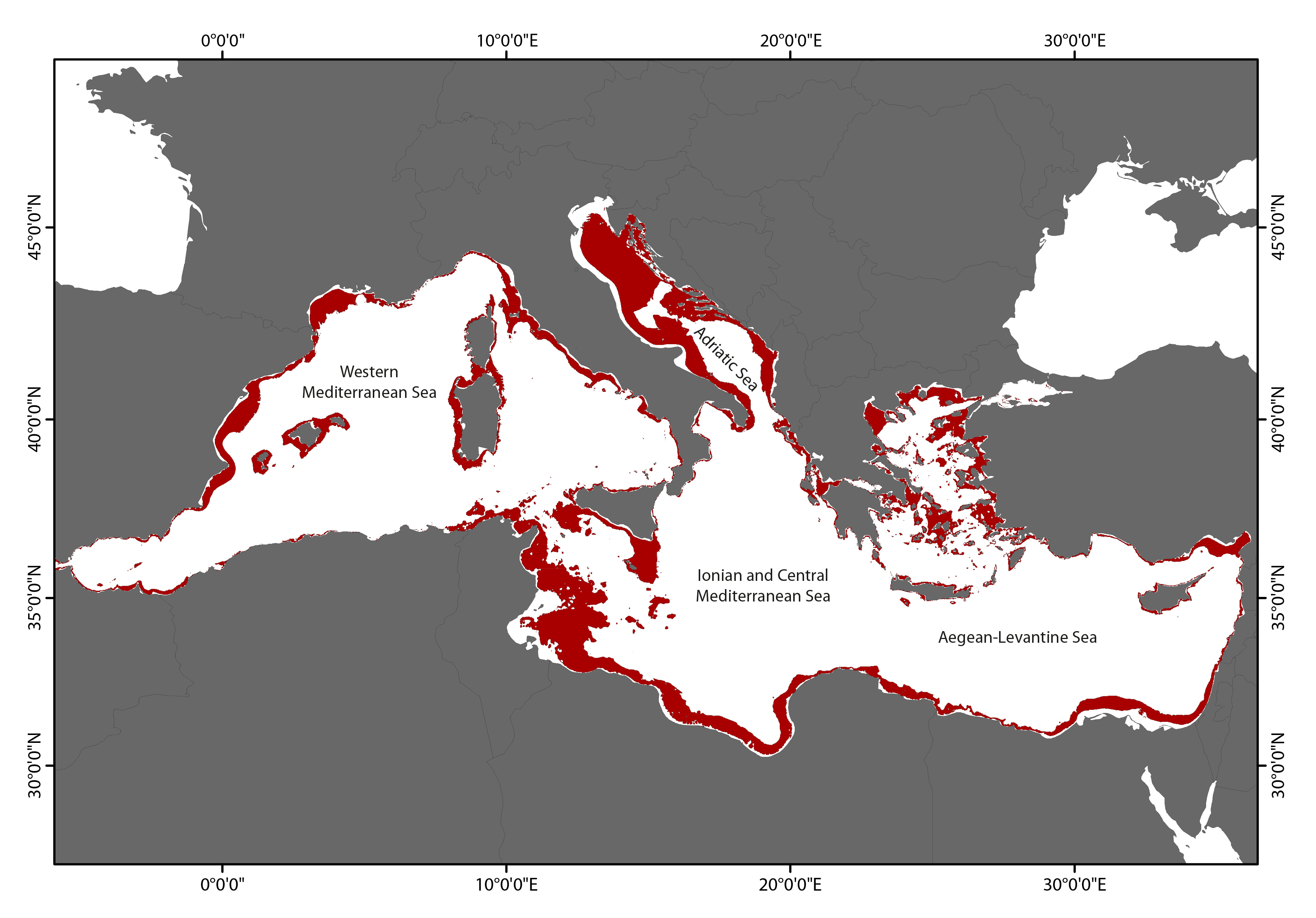
Spatial and vertical extension of the mesophotic zone in the Mediterranean Sea based upon light penetration
-

A first assessment of the spatial and vertical extension of the mesophotic zone in the Mediterranean Sea based upon light penetration, comparing our prediction with literature data
 CNR-ISMAR