html5 web application
Type of resources
Topics
INSPIRE themes
Provided by
Years
Formats
Update frequencies
status
-
Geoportal implemented in the framework of the CORSUB Project to manage multidisciplinary spatial data at Project Area scale
-
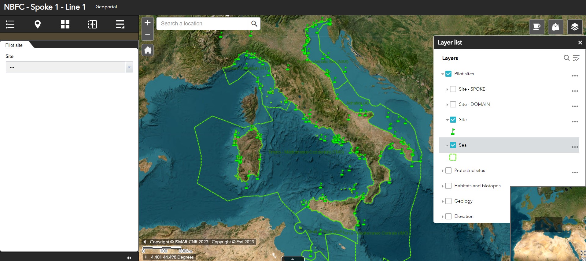
Geoportal implemented in the framework of the National (Marine) Biodiversity Observatory System of the National Biodiversity Future Center - Spoke 1 - Activity 1 - Task 1
-
The REDRESS Geoportal has been implemented in the framework of the REDRESS Project - WP1 - Task 1. The geoportal is the key sharing point where partners and the public can visualize and access the collected spatial data during the project and a synthesis of the past and current knowledge on deep-sea habitats’ degradation.
-
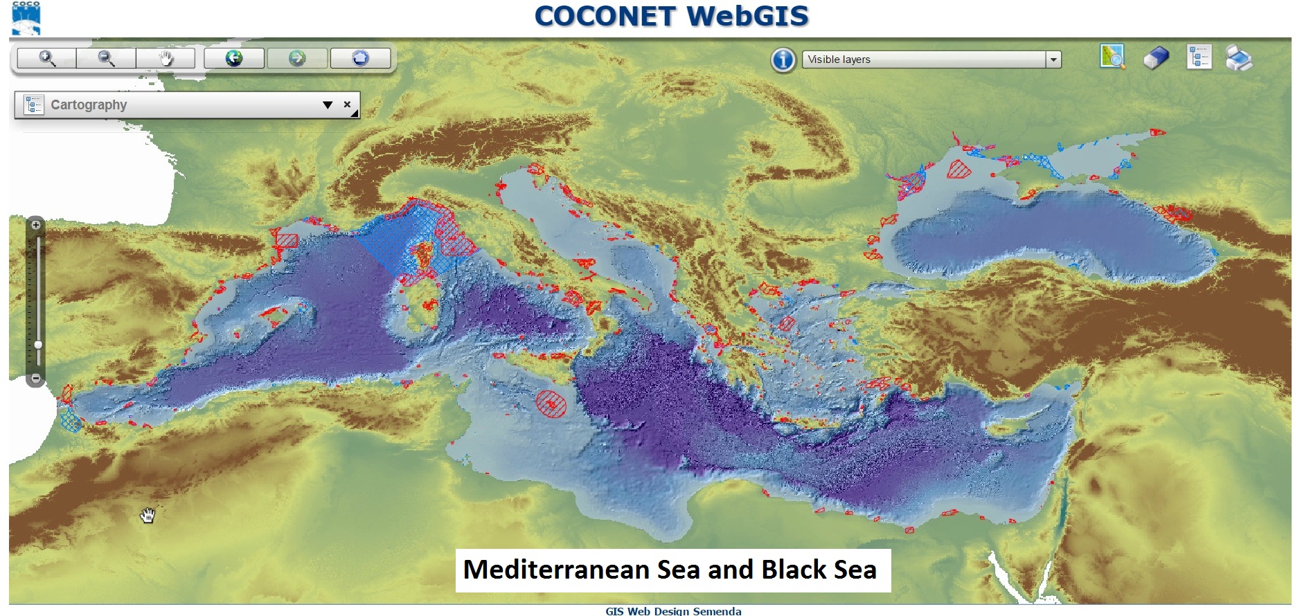
Geoportale implementato nell'ambito del Progetto CoCoNet per gestire dati spaziali multidisciplinari a scala di Mar Mediterraneo e Mar Nero
-
WebGIS implemented to preserve, integrate and share spatial data and products produced by ISMAR and ISP in the last decades
-
Geoportal implemented in the framework of the MarE Project, a tool for decision-making and planning a sustainable use of the Albanian marine/coastal space
-
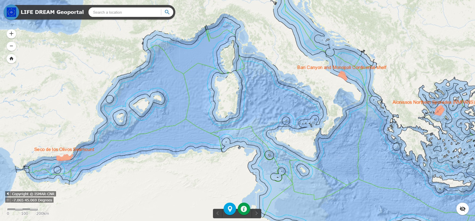
Geoportal implemented in the framework of the LIFE DREAM Project to manage multidisciplinary spatial data at Project Area scale
-
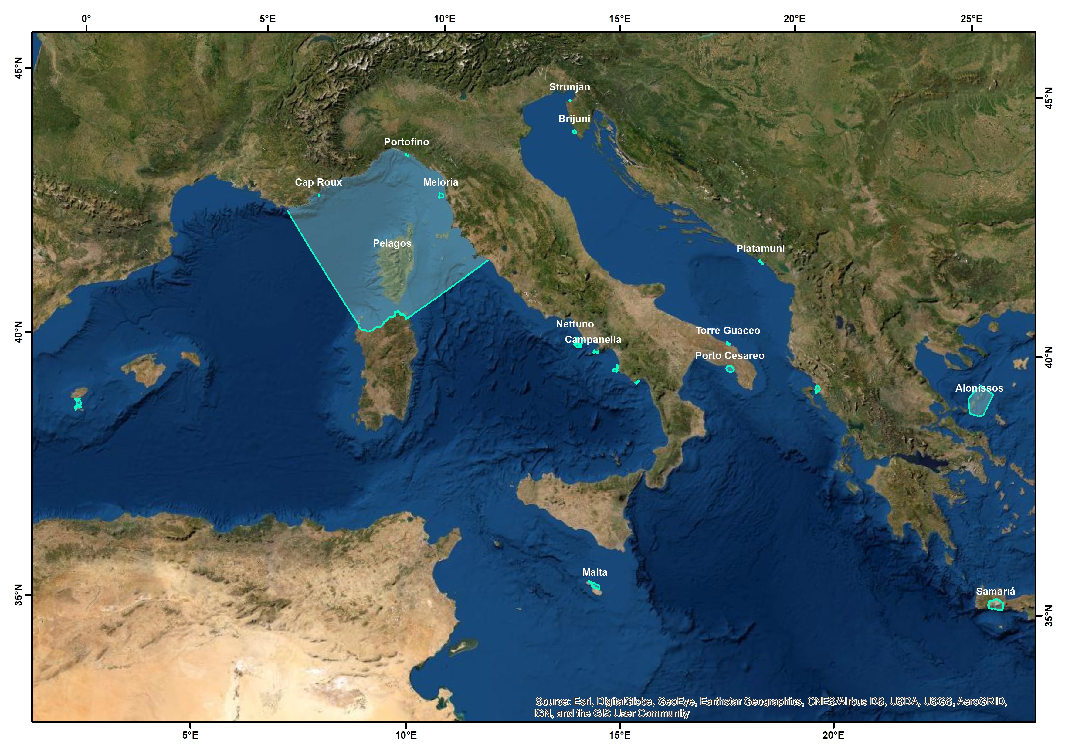
Geoportal implemented in the framework of the AMAre Project and then AMAre PLUS Project to manage multidisciplinary spatial data at Marine Protected Area (MPA) scale
-
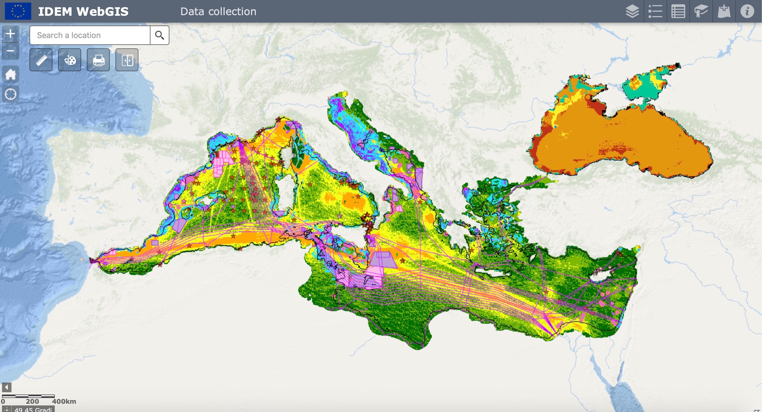
Geoportal implemented in the framework of the IDEM project (Implementation of the MSFD to the Deep Mediterranean Sea)
 CNR-ISMAR