 CNR-ISMAR
WMS
Type of resources
Available actions
Topics
INSPIRE themes
Provided by
Years
Formats
Update frequencies
status
-
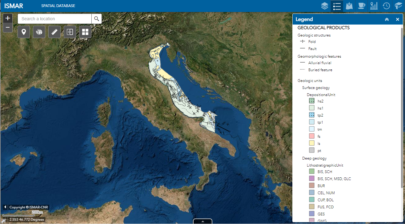
Web Map Service (WMS) providing spatial layers about geological products produced by ISMAR and ISP in the last decades
-
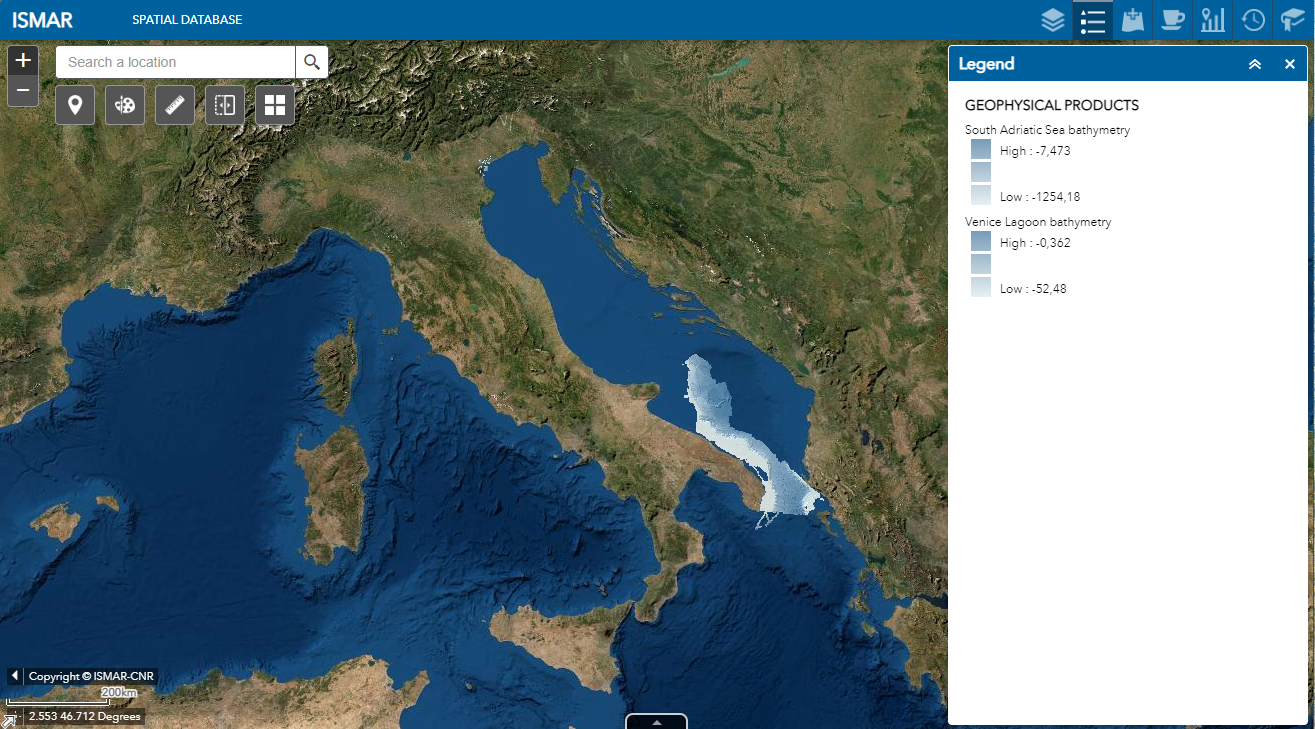
Web Map Service (WMS) providing spatial layers about geophysical products produced by ISMAR and ISP in the last decades
-
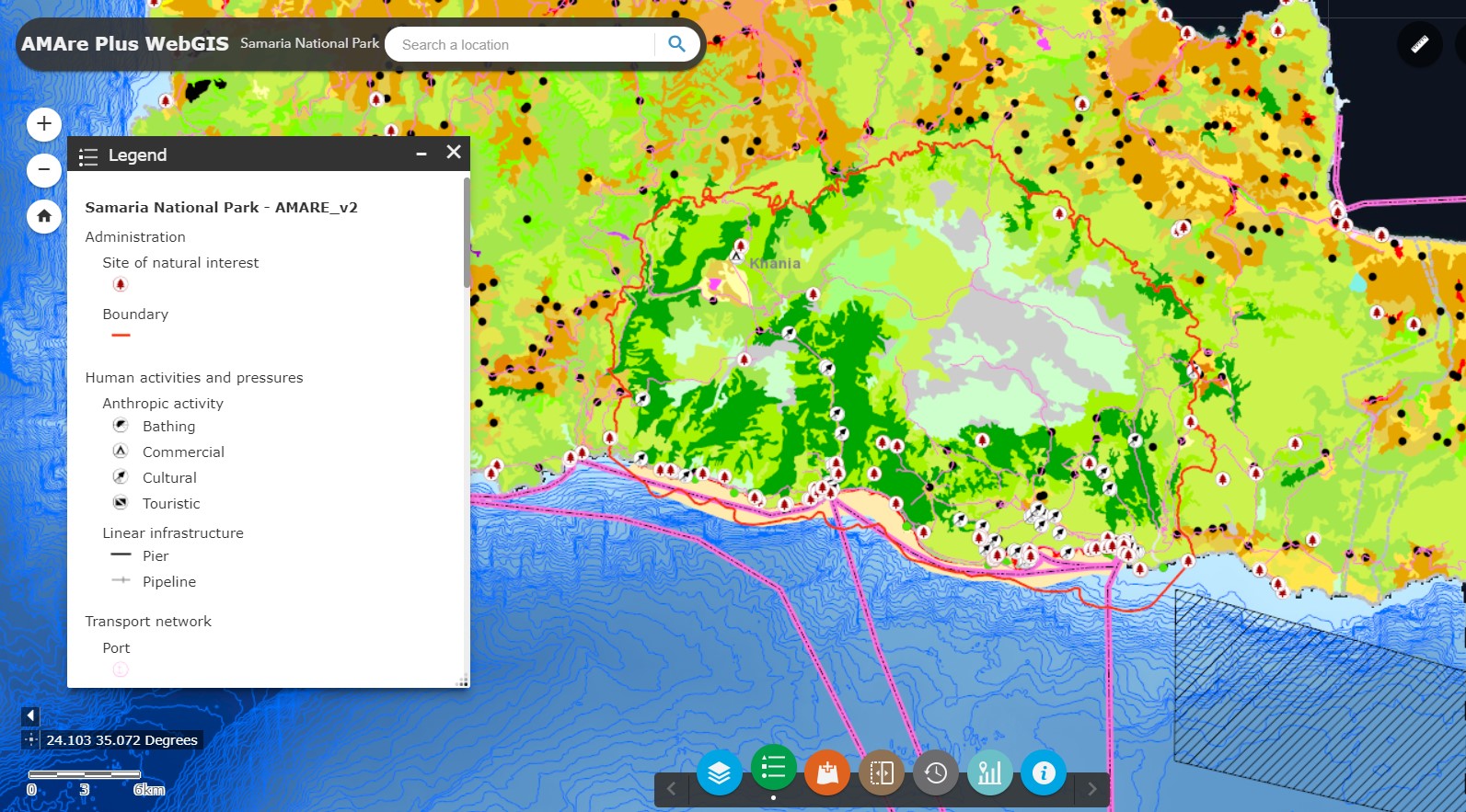
Web Map Service (WMS) providing spatial layers about the Samariá National Park implemented in the framework of the AMAre Project.
-
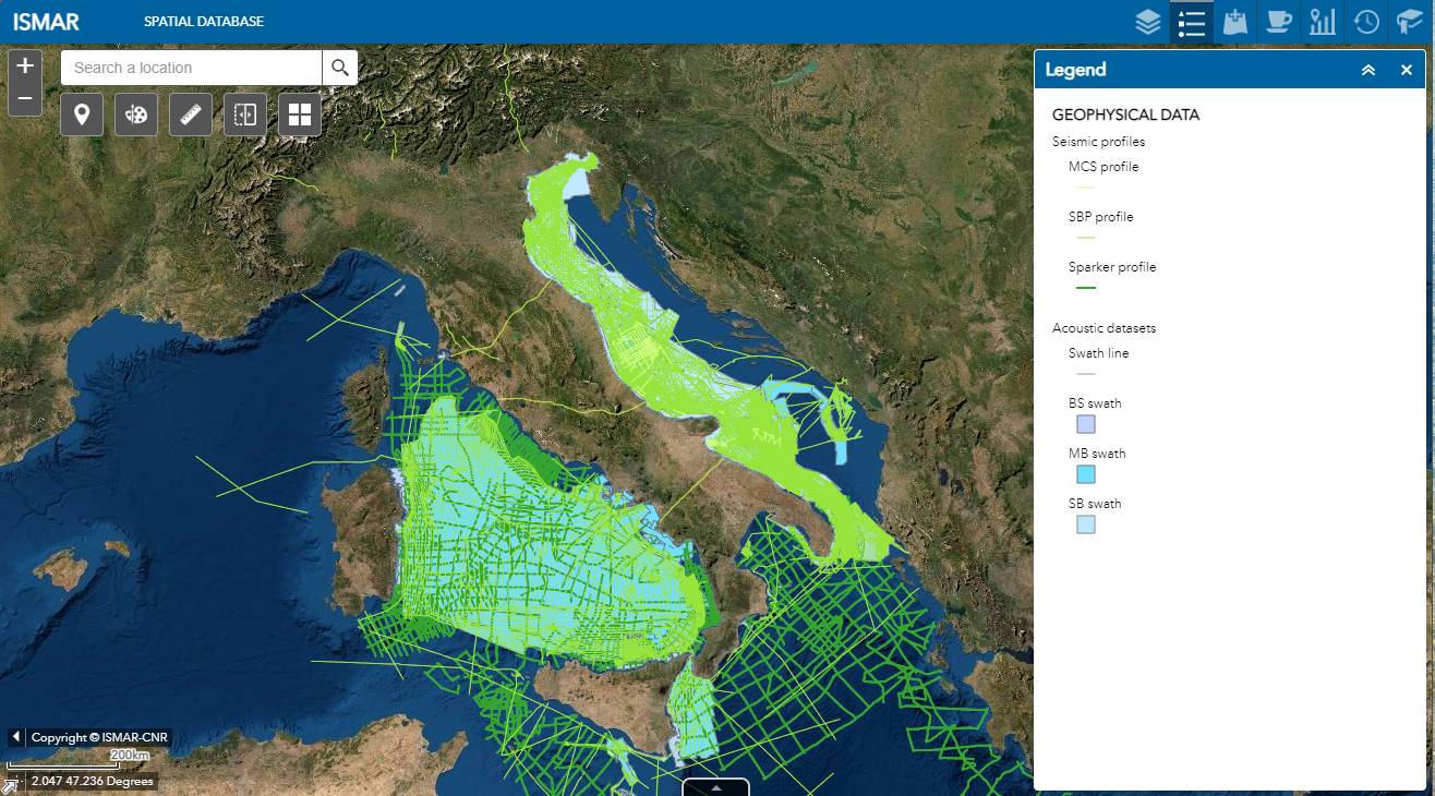
Web Map Service (WMS) providing spatial layers about geophysical data collected by ISMAR and ISP in the last decades
-
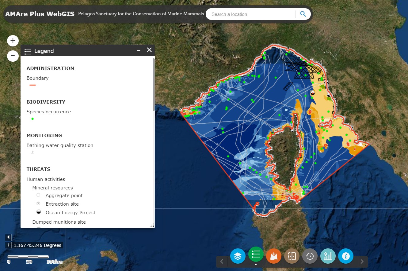
Web Map Service (WMS) providing spatial layers about the Pelagos Sanctuary for Marine Mammals implemented in the framework of the AMAre Project.
-
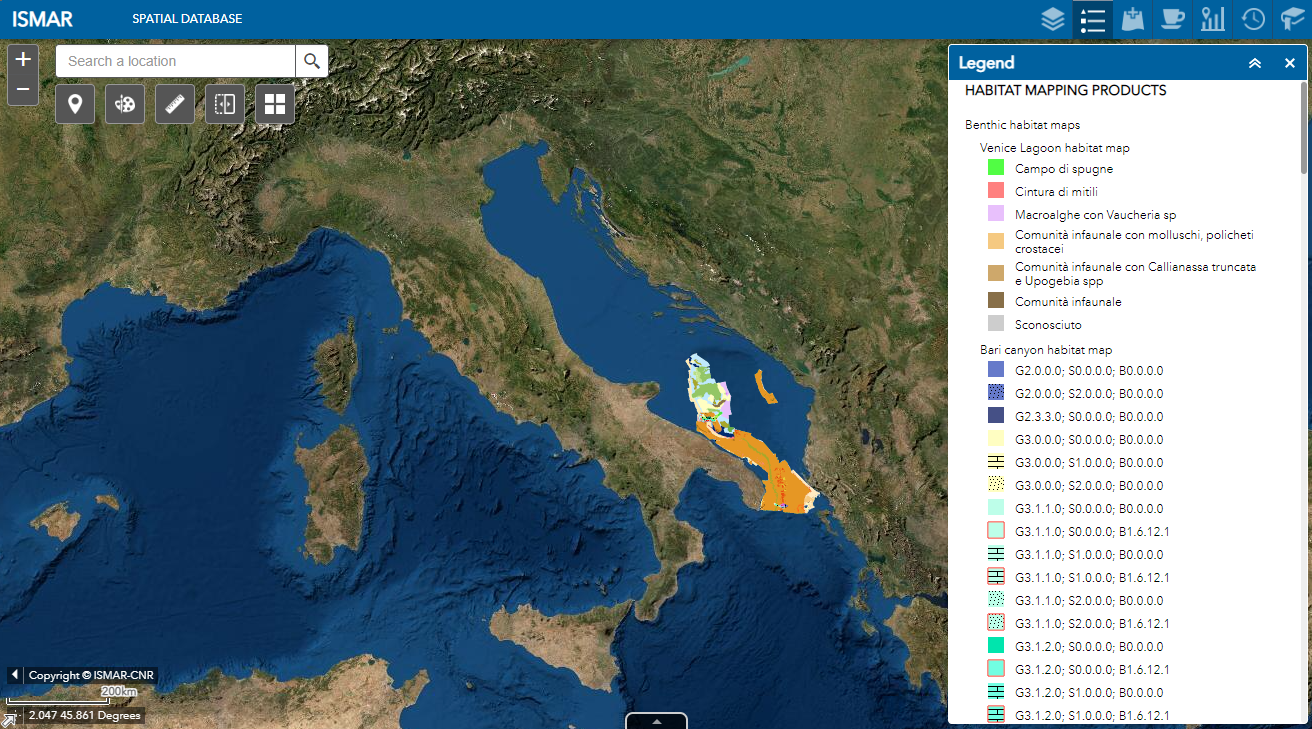
Web Map Service (WMS) providing spatial layers about benthic mapping products produced by ISMAR and ISP in the last decades
-
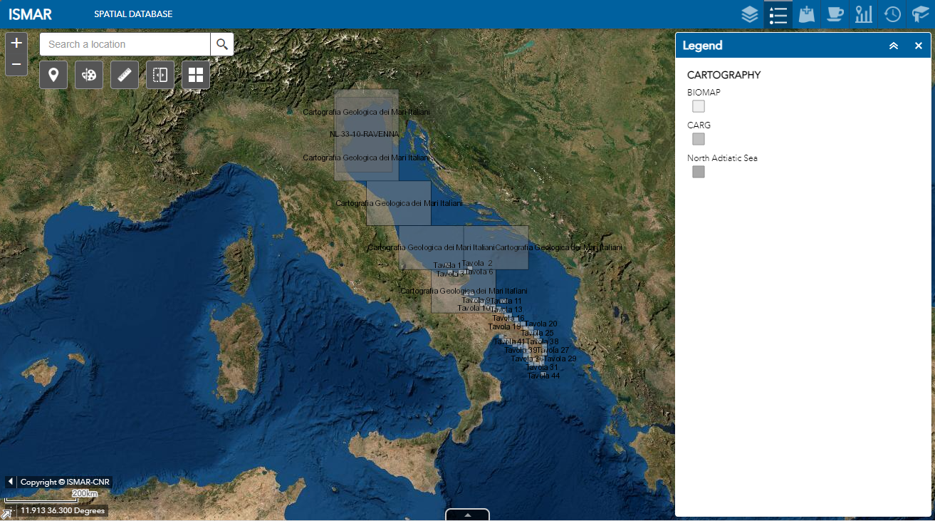
Web Map Service (WMS) providing spatial layers about cartography produced by ISMAR and ISP in the last decades
-
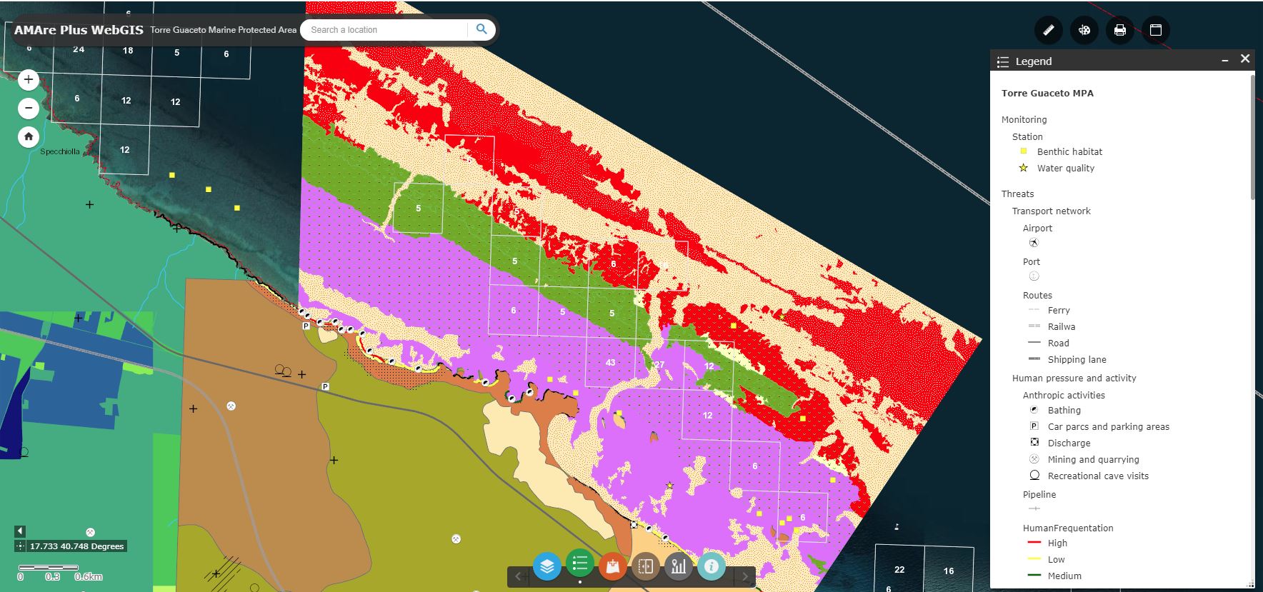
Web Map Service (WMS) providing spatial layers about the Marine Protected Area (MPA) of Torre Guaceto implemented in the framework of the AMAre Project.
-
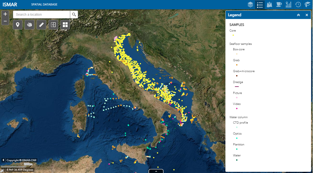
Web Map Service (WMS) providing spatial layers about the ISMAR and ISP samples collected in the last decades
-

Web Map Service (WMS) providing spatial layers about the Marine Protected Area (MPA) of North-East Malta implemented in the framework of the AMAre Project.