 CNR-ISMAR
GeoTIFF
Type of resources
Available actions
Topics
INSPIRE themes
Keywords
Contact for the resource
Provided by
Years
Formats
Representation types
Update frequencies
status
-
Bathymetric surface acquired in the framework of the TREMOR24 oceanographic campaign (CORSUB Project)
-

Bottom samples collected by CNR-ISMAR (Bologna) in the South Adriatic Sea located from -250 m to -900 m depth. The dataset consists of grabs, dredges, box cores, ROVs and lander. It was collected from 2006to 2014 during the following oceanographic cruises: ALTRO, ARCADIA, BARCA2007, COCOMAP13, COCOMAP14, CROMA, MEMA12, SASSI08, SETE2006.
-
Desctription of Mediteranean Sea surface circulation (0-200m) starting from litterature review
-
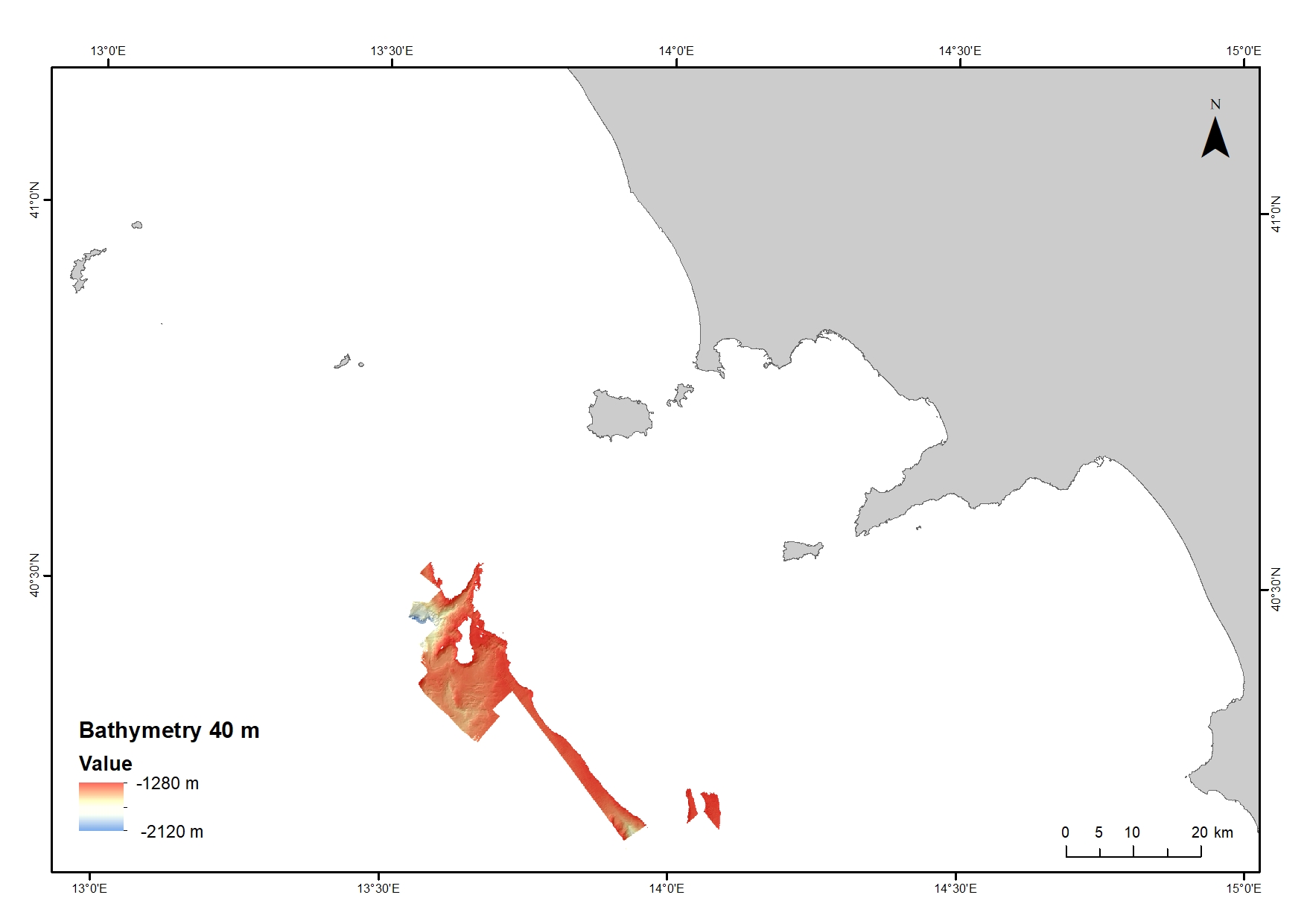
Digital Elevation Model (DEM) from 1280 to 2120 water depth at 40 meters resolution. Bathymetric surface collected during the oceanographic cruise JAMMEGAIA22 on board of the R/V GAIA BLU by CNR.
-

Acoustic dataset collected in the frame of the research project ABBaCO (Environmental Restoration of the Bagnoli-Coroglio National Site of Interest). The Project was aimed to support planning actions for the restoration of marine habitats of the Bagnoli-Coroglio area, characterized by the presence of a large industrial site from 1910 until the 1990s. Backscatter data were collected as "snippet data" by means of a Teledyne Reson SeaBat 7125 multibeam echosounder and processed using FMGeocoder Toolbox (FMGT) in Fledermaus 7.6 version.
-
Bathymetric surface acquired in the framework of the TREMOR24 oceanographic campaign (CORSUB Project)
-

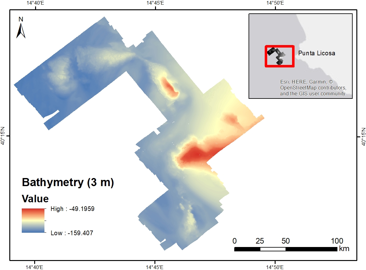
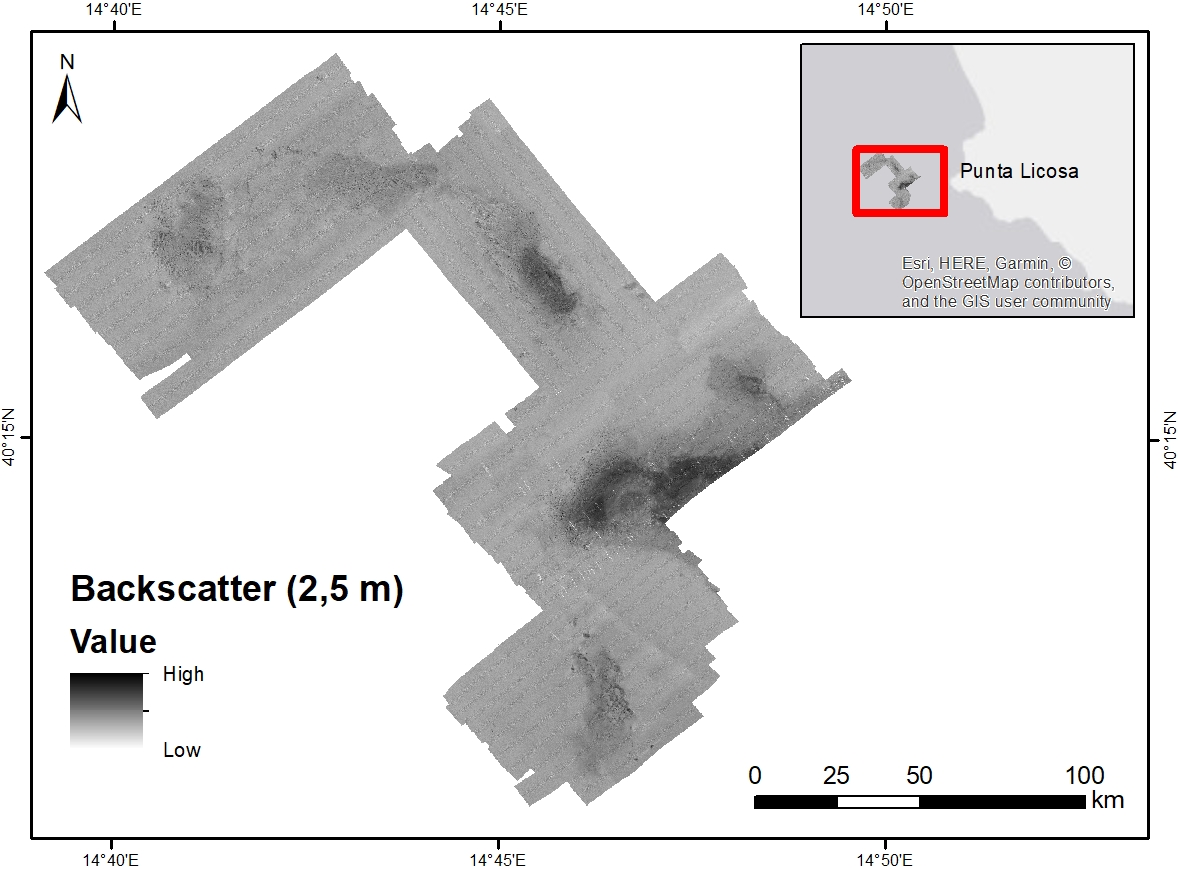
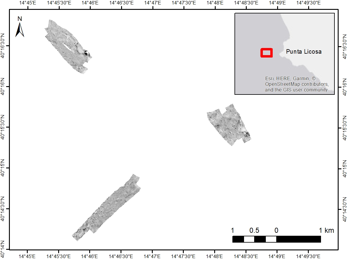
Acoustic backscatter data collected through the use of a Reson SeaBat 7125 high-resolution multibeam system
-
Acoustic backscatter data collected through the use of a Reson SeaBat 7125 high-resolution multibeam system
-
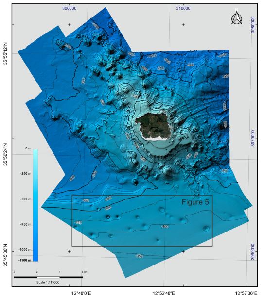
Bathymetry of Linosa Island (10 × 10 m cell grid size) collected by the Institute for Coastal Marine Environment (IAMC, now ISMAR, Institute of Marine Sciences) of the National Research Council (CNR) of Naples (Italy) during two oceanographic surveys, ‘Linosa 2016’ (17–29 August 2016) and ‘BioGeoLin 2017’ (8–20 September 2017), onboard the R/V Minerva UNO
-
Side Scan Sonar surface acquired in the framework of the CORSUB0624 oceanographic campaing (CORSUB Project)