ASCII
Type of resources
Topics
INSPIRE themes
Provided by
Years
Formats
Representation types
Update frequencies
status
-
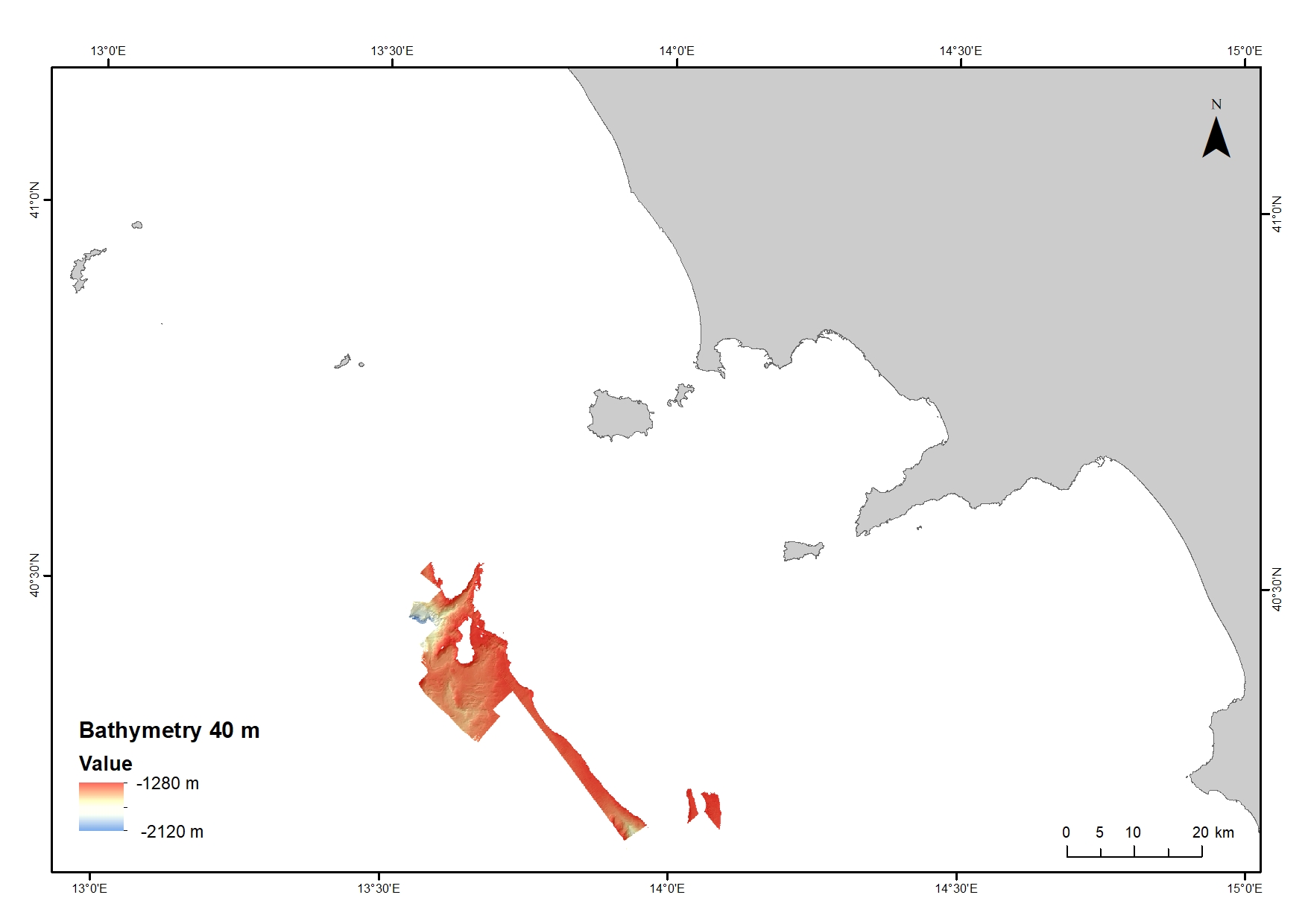
Digital Elevation Model (DEM) from 1280 to 2120 water depth at 40 meters resolution. Bathymetric surface collected during the oceanographic cruise JAMMEGAIA22 on board of the R/V GAIA BLU by CNR.
-
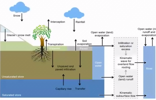
A bubble Barrier that removes litter from rivers is being applied in the Ave estuary (Portugal) in the framework of the MAELSTROM Project. In order to identify the location where the technology could possibly best be applied and to assess the impact of the litter removal on marine life, MAELSTROM makes use of numerical models. Facing the limited field data and absence of available models, we carried out field campaigns, set-up a hydrological model for the Ave river basin and set-up a hydrodynamic model for the estuarine region. The hydrodynamic numerical model for the Ave estuary was implemented using D-Flow Flexible Mesh (D-Flow FM), which is the hydrodynamic module of the Delft3D Flexible Mesh Suite developed by Deltares (for more information see the project deliverable D2.2 Numerical modelling and field campaigns to support litter removal at the demo sites).
-
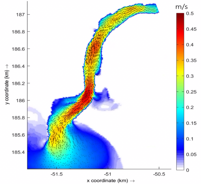
A bubble Barrier that removes litter from rivers is being applied in the Ave estuary (Portugal) in the framework of the MAELSTROM Project. In order to identify the location where the technology could possibly best be applied and to assess the impact of the litter removal on marine life, MAELSTROM makes use of numerical models. Facing the limited field data and absence of available models, we carried out field campaigns, set-up a hydrological model for the Ave river basin and set-up a hydrodynamic model for the estuarine region. The hydrodynamic numerical model for the Ave estuary was implemented using D-Flow Flexible Mesh (D-Flow FM), which is the hydrodynamic module of the Delft3D Flexible Mesh Suite developed by Deltares (for more information see the project deliverable D2.2 Numerical modelling and field campaigns to support litter removal at the demo sites).
-
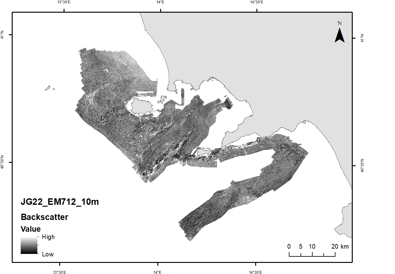
Acoustic reflectivity data (multi beam backscatter) collected during the oceanographic cruise JAMMEGAIA22 on board of the R/V GAIA BLU by CNR.
-
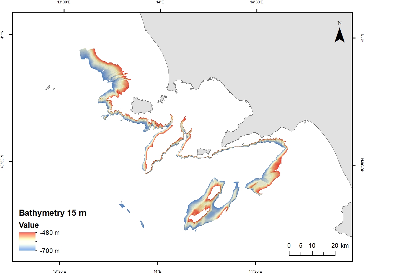
Digital Elevation Model (DEM) from 480 to 700 m waters depth with a spatial resolution of 15 m. Bathymetric surface collected during the oceanographic cruise JAMMEGAIA22 on board of the R/V GAIA BLU by CNR.
-
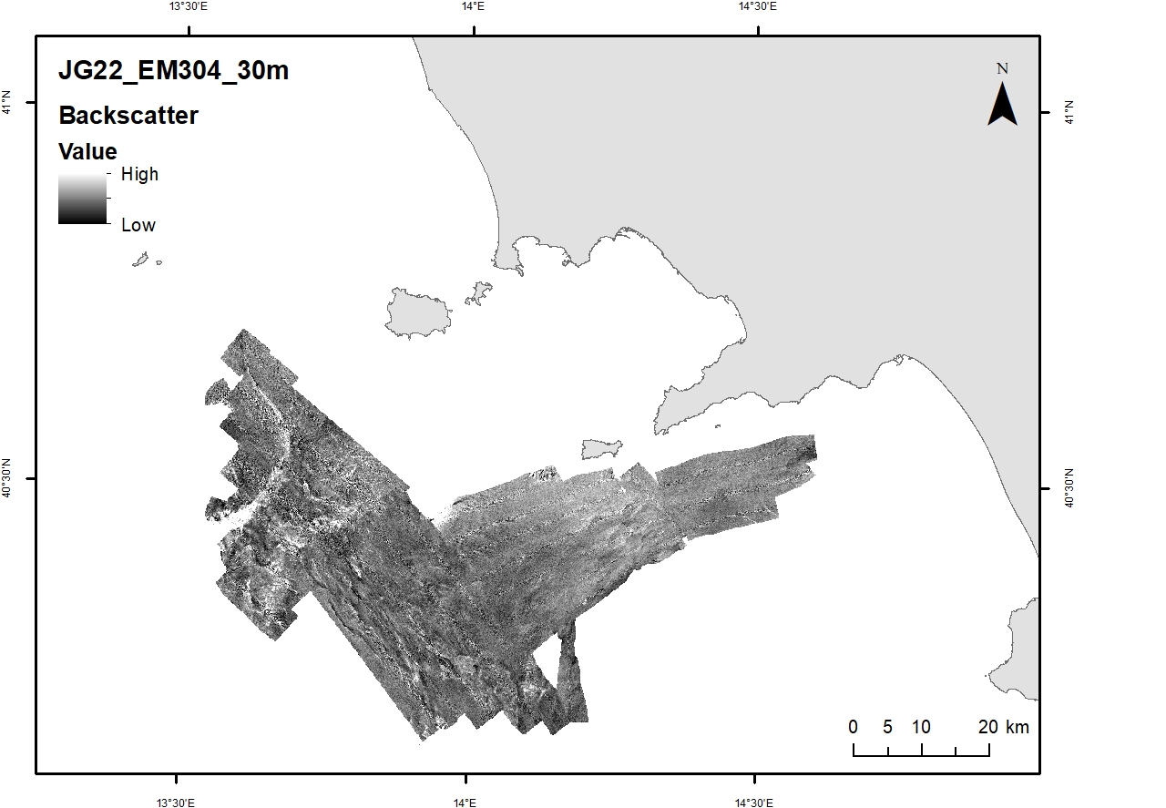
Acoustic reflectivity data (multi beam backscatter) collected during the oceanographic cruise JAMMEGAIA22 on board of the R/V GAIA BLU by CNR.
-
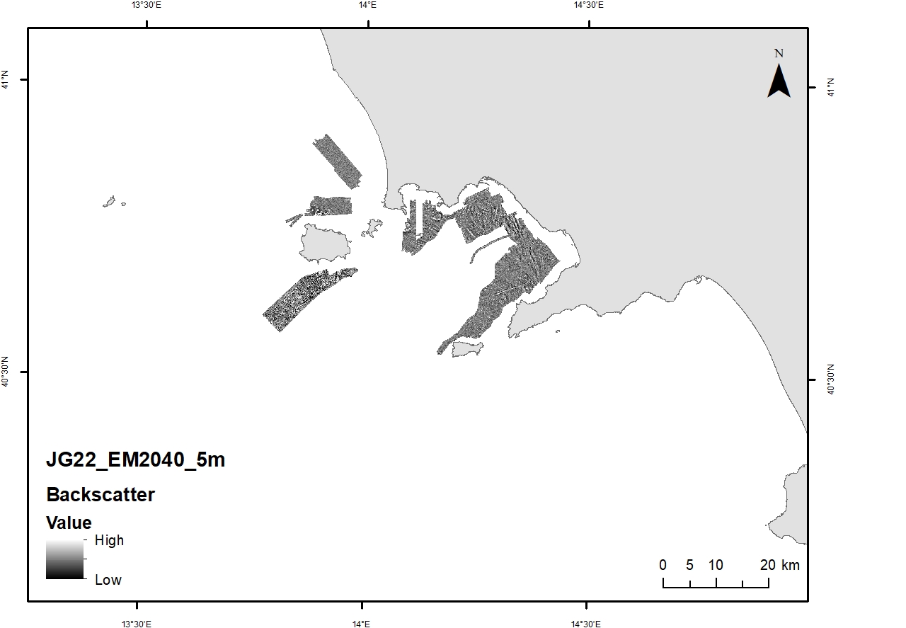
Acoustic reflectivity data (multi beam backscatter) collected during the oceanographic cruise JAMMEGAIA22 on board of the R/V GAIA BLU by CNR.
-
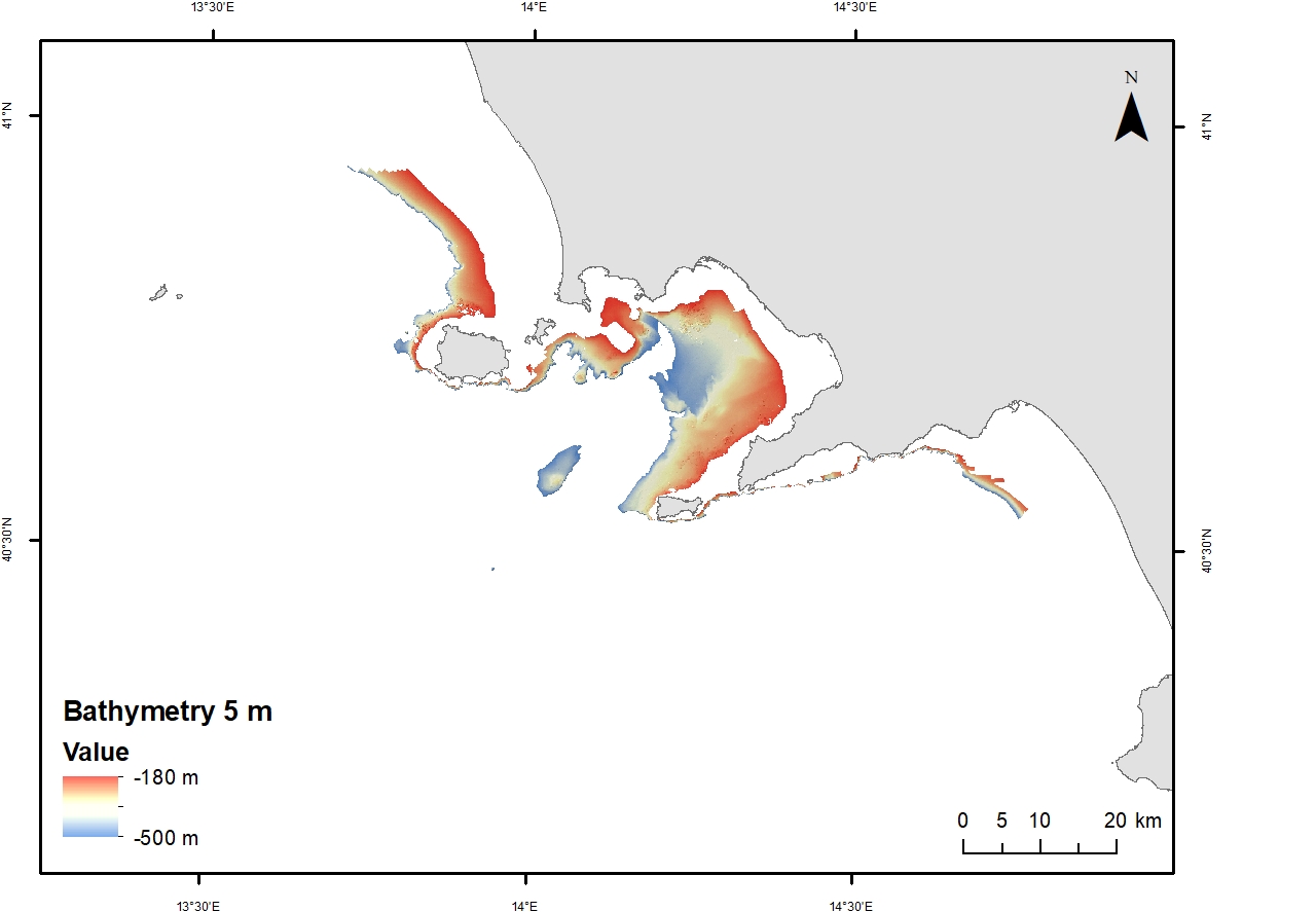
Digital Elevation Model (DEM) from 100 to 200 m water depth with a spatial resolution of 5 m. Bathymetric surface collected during the oceanographic cruise JAMMEGAIA22 on board of the R/V GAIA BLU by CNR.
-
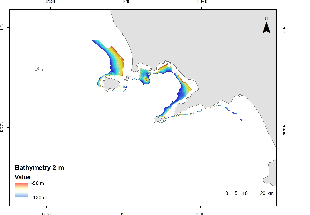
Digital Elevation Model (DEM) from 50 to 120 mwater depth with a spatial resolution of 2 m. Bathymetric surface collected during the oceanographic cruise JAMME GAIA 2022 on board of the R/V GAIA BLU by CNR.
-
Bathymetric dataset collected in the frame of the research project ABBaCO (Environmental Restoration of the Bagnoli-Coroglio National Site of Interest). The Project was aimed to support planning actions for the restoration of marine habitats of the Bagnoli-Coroglio area, characterized by the presence of a large industrial site from 1910 until the 1990s. Bathymetric data were collected by means of a Teledyne Reson SeaBat 7125 multibeam echosounder and processed using PDS 4.1 (Teledyne©inc) editing software.
 CNR-ISMAR