2018
Type of resources
Available actions
Topics
INSPIRE themes
Keywords
Contact for the resource
Provided by
Years
Formats
Representation types
Update frequencies
Scale
Resolution
-

Bottom samples collected by CNR-ISMAR (Bologna) in the South Adriatic Sea located from -250 m to -900 m depth. The dataset consists of grabs, dredges, box cores, ROVs and lander. It was collected from 2006to 2014 during the following oceanographic cruises: ALTRO, ARCADIA, BARCA2007, COCOMAP13, COCOMAP14, CROMA, MEMA12, SASSI08, SETE2006.
-

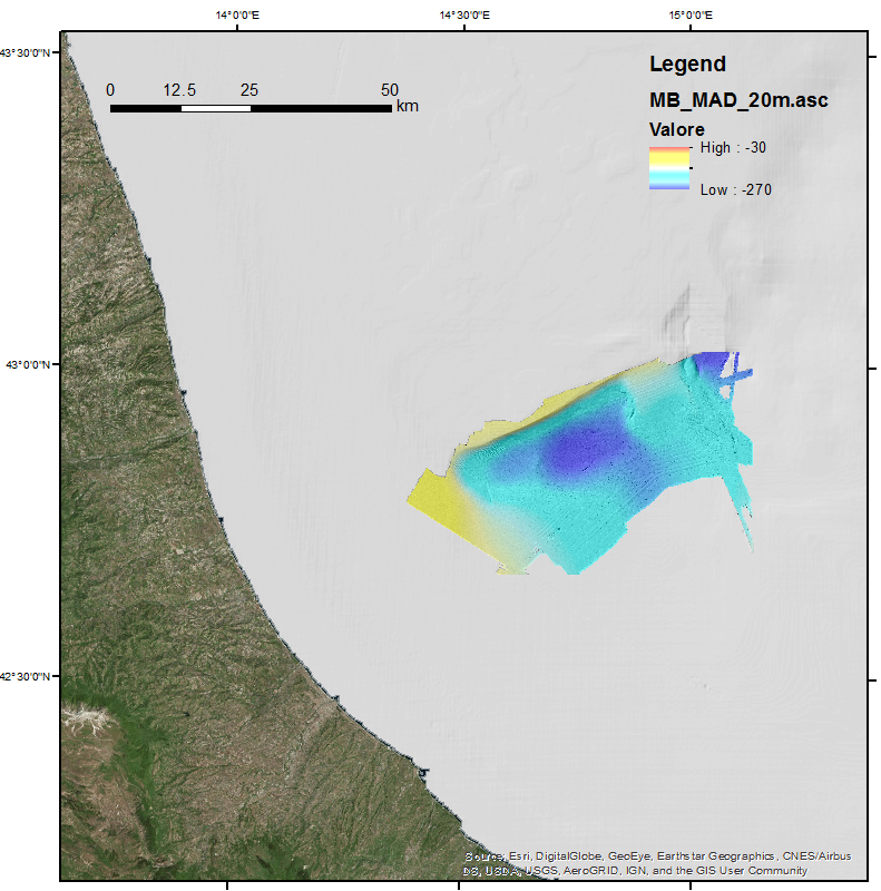
This DTM is the result of merging of two multibeam surveys identified by their CDIs names and short dataset names: 145_145_CNR-ISMAR-50,MADGAS 145_145_CNR-ISMAR-65,MADMAP12. These data were acquired with a Kongsberg EM710 multibeam system.
-

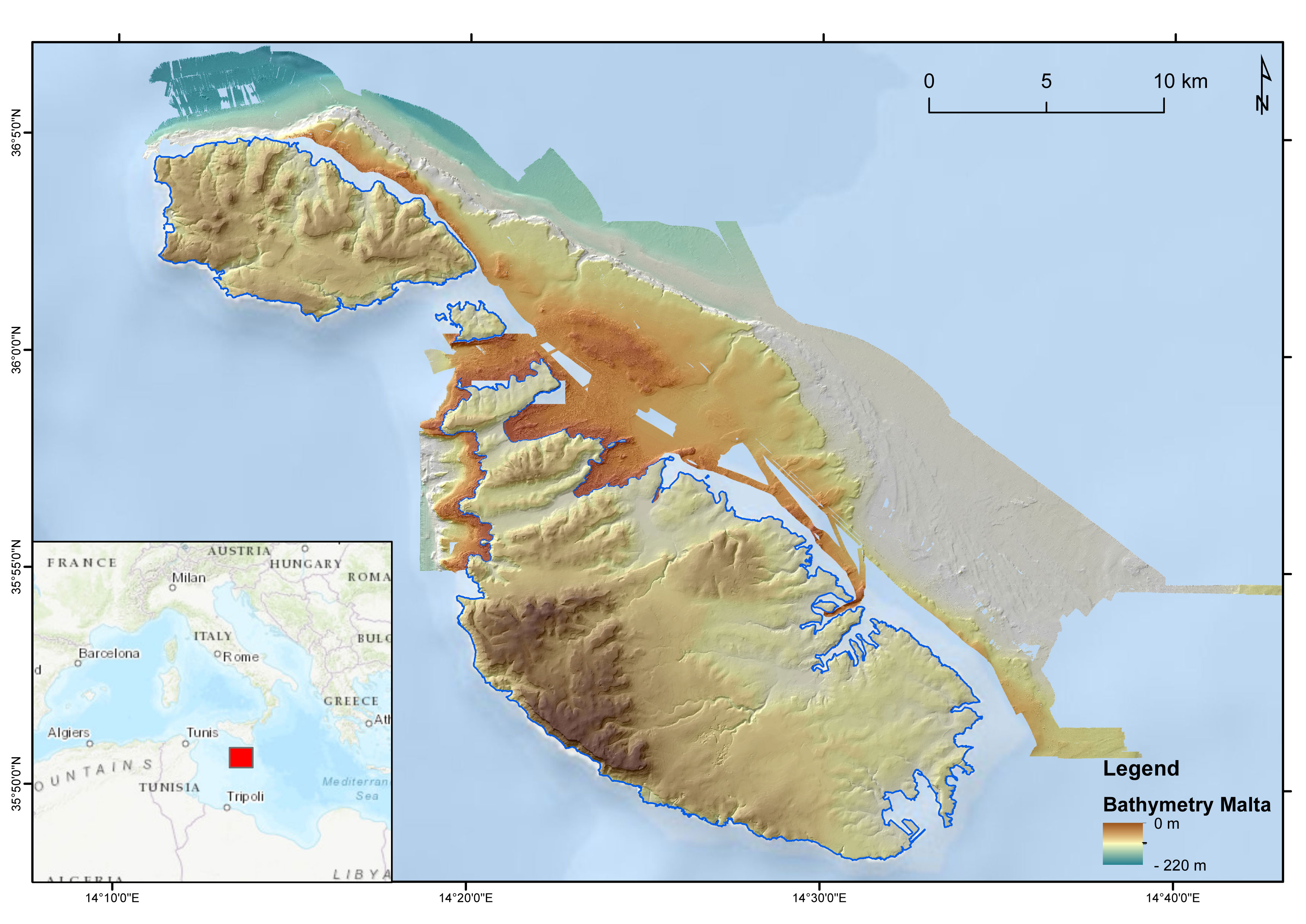
DTM of the Maltese seafloor resulting from the merge of 3 MBES-derived DTMs (cruises MEDCOR, DECORS and MAPSCAPE) and a bathymetric LiDAR-derived DTM (ERDF20112). Horizontal resolution of 2 m. It comprises the seabed offshore N Gozo, E Maltese Islands and NW Malta. The DTM refers to the following CDIs: 145_CNR-ISMAR-125, MAPSCAPE2012, 145_CNR-ISMAR-126, ERDF_LIDAR_2012
-

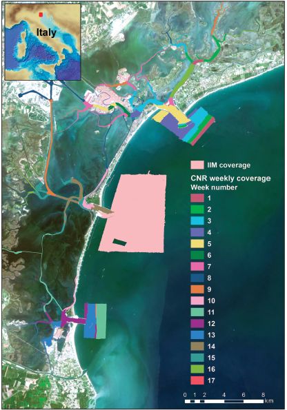
The multibeam data were collected during six-months in 2013 with a Kongsberg EM2040 compact dual-head multi-frequency system. Metadata for the 17-week-long survey is available from the Seadatanet catalogue CDIs: 145_CNR-ISMAR-102,145_CNR-ISMAR-103,145_CNR-ISMAR-104,145_CNR-ISMAR-105,145_CNR-ISMAR-106,145_CNR-ISMAR-107,145_CNR-ISMAR-108,145_CNR-ISMAR-109,145_CNR-ISMAR-110,145_CNR-ISMAR-111,145_CNR-ISMAR-112,145_CNR-ISMAR-113,145_CNR-ISMAR-114,145_CNR-ISMAR-115,145_CNR-ISMAR-116,145_CNR-ISMAR-117,145_CNR-ISMAR-118.
-

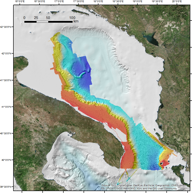
This DTM is the result of merging of several multibeam surveys identified by their CDIs names and short dataset names: 145_CNR-ISMAR-06, STRATA05;145_CNR-ISMAR-07,SETE06;145_CNR-ISMAR-08,BARCA07;145_CNR-ISMAR-09,SASSI08;145_CNR-ISMAR-10,IMPACT09;145_ CNR-ISMAR-11,MAGIC0409;145_CNR-ISMAR-12,ARCADIA;145_CNR-ISMAR-13,ARCO;145_145_CNR-ISMAR-44,RISA09;145_145_CNR-ISMAR-45, SOM09;145_145_CNR-ISMAR-46,MAGIC0709-ADRIA;145_145_CNR-ISMAR-47,MAGIC0910;145_145_CNR-ISMAR-48,MAGIC0211;145_145_ CNR-ISMAR-49,OBAMA;145_145_CNR-ISMAR-52,MEMA12;145_145_CNR-ISMAR-62,COCOMAP13;145_145_CNR-ISMAR-74,COCOMAP14.
 CNR-ISMAR