CNR-ISMAR
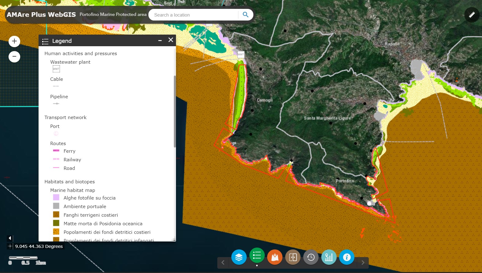
Portofino MPA - WMS
Web Map Service (WMS) providing spatial layers about the Marine Protected Area (MPA) of Portofino implemented in the framework of the AMAre Project.
Base
- Data (Creazione)
- 2022-08-09
- Identificatore
- http://libeccio.bo.ismar.cnr.it:8080/geonetwork/srv/eng/catalog.search#/metadata/ddeb339c-7bc8-4a9c-a247-a822556e3db2
- Crediti
- © CNR-ISMAR
- Status
- Completato
Ideatore
National Research Council - Institute of Marine Science (CNR -ISMAR)
-
Valentina Grande
(
Service publisher
)
https://orcid.org/0000-0002-3489-268X
- Frequenza di aggiornamento
- Secondo necessità
- Parole chiave
-
- mpa
- portofino
- wms
- amare project
- GEMET - INSPIRE themes, version 1.0
-
- Protected sites
- Continents, countries, sea regions of the world.
-
- Mediterranean Sea
- Adriatic Sea
- Italy
- Limitazione d’uso
- None
- Vincoli di fruibilità
- Altri vincoli
- Altri vincoli
- AMAre Project data policy: https://amare.interreg-med.eu/fileadmin/user_upload/Sites/Biodiversity_Protection/Projects/AMAre/Library/AMARE_Data_Policy.pdf
- Vincoli di accesso
- Altri vincoli
- Altri vincoli
- AMAre Project data policy: https://amare.interreg-med.eu/fileadmin/user_upload/Sites/Biodiversity_Protection/Projects/AMAre/Library/AMARE_Data_Policy.pdf
- Classificazione
- Non riservato
- Lingua dei metadati
- English
- Set dei caratteri dei metadati
- UTF8
- Tema
-
- Informazioni geoscientifiche
- Descrizione
- mediterranean sea; adriatic sea; italy, ligurian region; portofino
N
S
E
W
))
- Informazioni supplementari
- none
- Identificatore unico di risorsa
- EPSG:32633
- Formato di distribuzione
-
-
WMS
(
x
)
-
WMS
(
x
)
- Risorsa online
-
Portofino MPA WMS service
(
OGC:WMS
)
Portofino MPA Web Map Service
- Livello
- Service
- Altro
- OGC service
Conformità
- Data (Pubblicazione)
- 2020-10-09
- Spiegazione
- Validated in Geonetwork according to the ISO19115 rules (24/24) and the INSPIRE rules (23/23)
- Pass
- Yes
- Genealogia del dato – Processo di produzione
- Published by CNR - ISMAR using ArcGIS Server (© ESRI) + Moka CMS (© Semenda srl) in the framework of the AMAre Project
- Identificatore del file di metadati
- ddeb339c-7bc8-4a9c-a247-a822556e3db2 XML
- Lingua dei metadati
- English
- Set dei caratteri dei metadati
- UTF8
- Identificatore metadati di rango superiore
- AMAre PLUS Geoportal c464ac67-a0b8-4d26-866c-b1f20f2da894
- Livello gerarchico
- Service
- Nome del livello gerarchico
- OGC service
- Data dei metadati
- 2022-09-22T22:52:55
- Nome dello Standard dei metadati
- ISO 19115:2003/19139
- Versione dello Standard dei metadati
- 1.0