 CNR-ISMAR
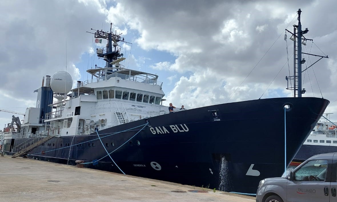
Survey JAMME GAIA 2022
The cruise aimed to map with the multibeam the Gulf of Naples testing the new instruments installed on board Gaia Blue and to produce a high resolution and updated morphobathymetric map of the area to be compared with the existing data.
Simple
- Date (Creation)
- 2022-09-28
- Presentation form
- Digital document
- Credit
- © CNR-ISMAR
- Status
- Completed
Principal investigator
National Research Council (CNR) - Institute of Marine Science (ISMAR)
-
Federica Foglini
(
Technologist
)
https://orcid.org/0000-0002-2736-0052
Principal investigator
National Research Council (CNR) - Institute of Marine Science (ISMAR)
-
Marzia Rovere
(
Researcher
)
Bologna
,
Italy
https://orcid.org/0000-0002-1397-7086
Principal investigator
National Research Council (CNR) - Institute of Marine Science (ISMAR)
-
Renato Tonielli
https://orcid.org/0000-0002-8792-9511
- Maintenance and update frequency
- As needed
- Survey type
-
- Test
- Device
-
- Chirp
- Multibeam
- CTD profiler
- ROV
- Keywords
-
- oceanographic cruise
- gaia blu research vessel
- gulf of naples
- GEMET - INSPIRE themes, version 1.0
-
- Geology
- Elevation
- Habitats and biotopes
- Oceanographic geographical features
- Continents, countries, sea regions of the world.
-
- Mediterranean Sea
- Italy
- Use limitation
- none
- Access constraints
- Other restrictions
- Other constraints
- none
Resource constraints
No information provided.
- Use constraints
- Other restrictions
- Other constraints
- none
- Classification
- Unclassified
- Metadata language
- English
- Topic category
-
- Geoscientific information
N
S
E
W
))
- Distribution format
-
-
PDF
(
(.pdf)
)
-
PDF
(
(.pdf)
)
- OnLine resource
-
JAMME GAIA 2022 cloud folder
(
WWW:LINK-1.0-http--link
)
Folder in the ISMAR cloud dedicated to the JAMME GAIA 2022 oceanographic cruise
- OnLine resource
-
JAMME GAIA 2022 digital map
(
WWW:LINK-1.0-http--link
)
Web application showing in near real time the progress of the JAMME GAIA 2022 oceanographic cruise
- OnLine resource
- JAMME GAIA 2022 cruise report ( WWW:LINK-1.0-http--link )
- Hierarchy level
- Non geographic dataset
- Other
- Report
Conformance result
- Date (Revision)
- 2021-03-08
- Explanation
- Validated in Geonetwork according to the ISO19115 rules (24/24)
- Pass
- Yes
- Statement
- Report produced by...
- File identifier
- 6cd1080c-f41f-4c9d-907b-297d25f554e5 XML
- Metadata language
- English
- Character set
- UTF8
- Hierarchy level
- Non geographic dataset
- Hierarchy level name
- Report
- Date stamp
- 2024-03-11T09:42:41
- Metadata standard name
- ISO 19115:2003/19139
- Metadata standard version
- 1.0
Overviews
Spatial extent
N
S
E
W
Provided by

Associated resources
Not available