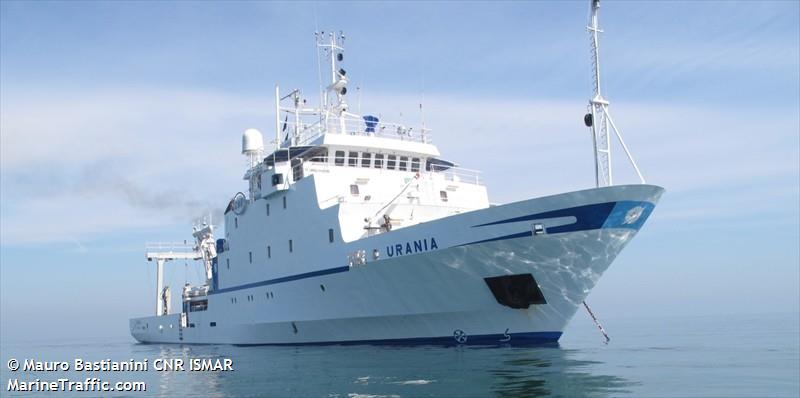
Survey ALTRO
Oceanographic cruise on board the R/V URANIA in the framework of CoCoNet Project to map the submerged landscape off shore Montenegro. The aim of the survey was to map benthic habitats on the continental shelf and slope, focusing on cold water corals occurrences.
Simple
- Date (Creation)
- 2021-04-20
- Presentation form
- Digital document
- Credit
- © CNR-ISMAR
- Status
- Completed
- Maintenance and update frequency
- As needed
- Survey
-
- MEMA12
- Survey type
-
- Geology
- Seismic
- Cartography
- Geophysics
- Sedimentology
- Biology
- Habitat mapping
- Geochemistry
- Paleobiology
- Paleontology
- Oceanography
- Device
-
- Chirp
- Multibeam
- Box corer
- CTD profiler
- Grab
- Gravity corer
- ROV
- Keywords
-
- oceanographic cruise
- ALTRO
- montenegro
- benthic habitat mapping
- cold water corals
- coconet project
- GEMET - INSPIRE themes, version 1.0
-
- Geology
- Elevation
- Habitats and biotopes
- Use limitation
- none
- Access constraints
- Other restrictions
- Other constraints
- by request
Resource constraints
No information provided.
- Use constraints
- Other restrictions
- Other constraints
- CC-BY
- Classification
- Unclassified
- Metadata language
- Italiano
- Topic category
-
- Geoscientific information
N
S
E
W
))
- Supplemental Information
- Southern Adriatic Sea, Montenegro
- Distribution format
-
-
PDF
(
(.pdf)
)
-
PDF
(
(.pdf)
)
- OnLine resource
-
Cruise report
(
WWW:LINK-1.0-http--link
)
PDF
- Hierarchy level
- Non geographic dataset
- Other
- Report
Conformance result
- Date (Revision)
- 2021-03-08
- Explanation
- Validated in Geonetwork according to the ISO19115 rules (24/24)
- Pass
- Yes
- Statement
- Report produced by Dr. F. Foglini (ISMAR-CNR) in May 2012, as part of the oceanographic cruise MEMA12
- File identifier
- 4360e732-432a-4ee5-a9b2-03f2e837d254 XML
- Metadata language
- English
- Character set
- UTF8
- Hierarchy level
- Non geographic dataset
- Hierarchy level name
- Report
- Date stamp
- 2022-09-26T23:30:38
- Metadata standard name
- ISO 19115:2003/19139
- Metadata standard version
- 1.0
Overviews

Spatial extent
N
S
E
W
))
Provided by

Associated resources
Not available
 CNR-ISMAR