nbfc
Type of resources
Available actions
Topics
INSPIRE themes
Keywords
Contact for the resource
Provided by
Years
Formats
Representation types
Update frequencies
status
Scale
-

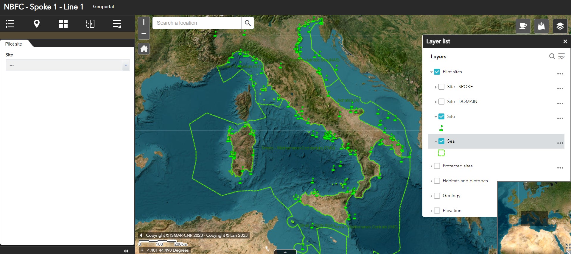
Geoportal implemented in the framework of the National (Marine) Biodiversity Observatory System of the National Biodiversity Future Center - Spoke 1 - Activity 1 - Task 1
-
to be filled..
-
to be filled..
-
to be filled..
-
Pilot sites identified in the framework of the Spoke 1 "Mapping and monitoring actions to preserve marine ecosystem biodiversity and functioning"
-
to be filled..
-
to be filled..
-
to be filled..
-
to be filled..
-

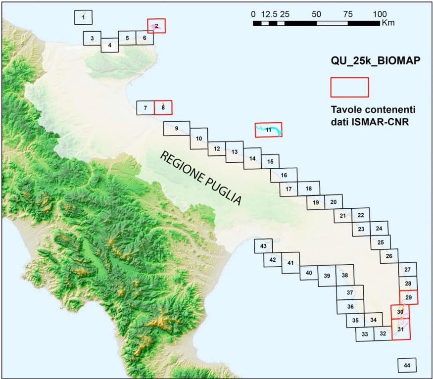
La distribuzione delle biocostruzioni lungo le coste della Puglia è conosciuta soltanto per alcuni tratti, con particolare riferimento al coralligeno, ma non è disponibile una cartografia georeferenziata aggiornata a scala regionale e, soprattutto, non è noto lo stato di conservazione delle “Scogliere” per la maggior parte della regione. In considerazione della continua crescita di pressioni antropiche, spesso interagenti, risulta altresì indispensabile l’implementazione di adeguate misure di conoscenza e di gestione finalizzate alla conservazione degli ecosistemi e dall’uso sostenibile delle risorse naturali in accordo con le Direttive Europee. In questo contesto in Puglia, nasce il progetto Biomap, che mira a dare un valido contributo alla rivisitazione dei SIC già esistenti e con la finalità di verificare e analizzare la presenza di “Scogliere” in vista della considerazione di questo habitat ai fini dell’attuazione della Direttiva sopra citata.
 CNR-ISMAR