2022
Type of resources
Available actions
Topics
INSPIRE themes
Provided by
Years
Formats
Representation types
Update frequencies
status
Scale
-

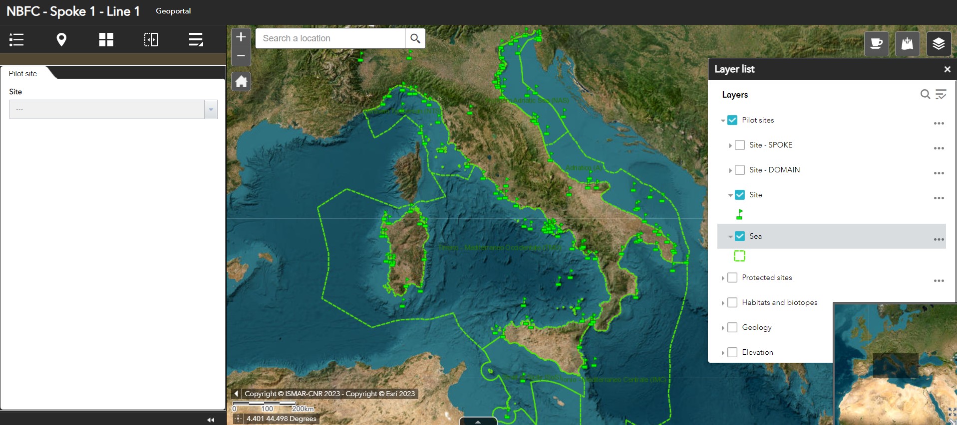
Geoportal implemented in the framework of the National (Marine) Biodiversity Observatory System of the National Biodiversity Future Center - Spoke 1 - Activity 1 - Task 1
-

The National Biodiversity Future Centre (NBFC) aims at harmonizing the current marine-coastal biodiversity knowledge, integrating it in databases and adopting, promoting, and making prevalent the use of the most cost/effective new/emerging monitoring methodologies and technologies. NBFC has the ambitious goal to implement a National (Marine) Biodiversity Observatory System reviewing the marine monitoring in Italy (what is done, where, and by how, how much it costs, redundancies and major gaps) and collecting data from institutional national/international programs, literature, public marine data portals, and citizen science.
-

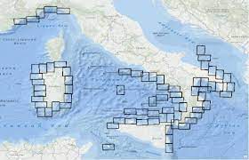
Quadro di unione dei 72 fogli che costituiscono la cartografia prodotta nell'ambito del Progetto MArine Geohazards along the Italian Coasts realizzato dai gruppi di ricerca italiani attivamente impegnati nel campo della Geologia Marinacon la partecipazione anche di un’unità dell’Università di Nizza. Alle 72 mappe, l'Università di Nizza ha aggiunto un'altra carta, relativa alla sua zona di sperimentazione. Scheda metadati originale: http://dati.protezionecivile.it/geoportalDPC/catalog/search/resource/details.page?uuid=PCM_MaGIC1_01%3A20160704%3A081100
-
Shapefile del solo livello 2. Livello 2: Unità Morfologiche (UM) Rappresentano grandi unità all'interno delle quali si raggruppano tratti morfologici (EM del Livello 3) anche diversi ma la cui predominanza è caratterizzante e indicativa di determinati processi o fenomeni geologici. Scheda metadati originale: http://dati.protezionecivile.it/geoportalDPC/catalog/search/resource/details.page?uuid=PCM_MaGIC1_17%3A20160627%3A125032
-
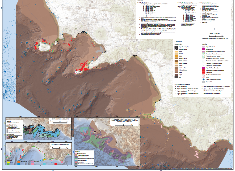
The shapefile contains the marine substrates of the Campania Region (inside 24 NM) produced in the framework of the FEAMP-ISSPA Project by CNR-ISMAR starting from the CARG cartography and the EUSeaMap from EMONnet.
-

Benthic habitat map of the Campania Region produced in the framework of the FEAMP-ISSPA Project by CNR-ISMAR
-
The shapefile contains the priority habitats of the Campania Region (inside 24 NM) produced in the framework of the FEAMP-ISSPA Project by CNR-ISMAR. It is the results of a bibliographic review coupled with new data (FEAMP-ISSPA) and recovered geophysics data collected by CNR-ISMAR through the years. The shapefile includes coralligenous, maerl, Posidonia oceanica, Cymodocea nodosa, photophilic algae, bioconstructions, and cold-water corals.
-

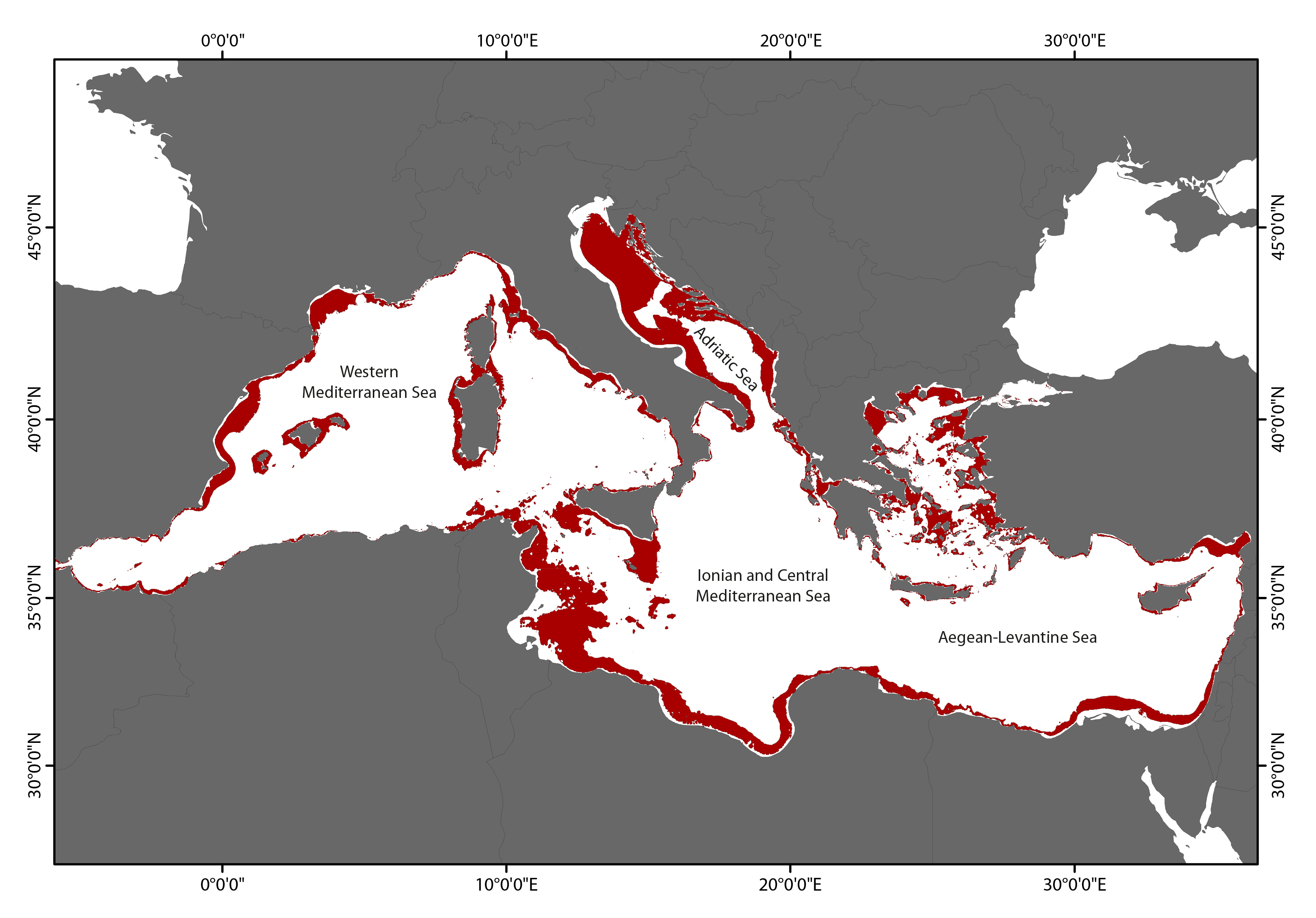
A first assessment of the spatial and vertical extension of the mesophotic zone in the Mediterranean Sea based upon light penetration, comparing our prediction with literature data
 CNR-ISMAR