 CNR-ISMAR
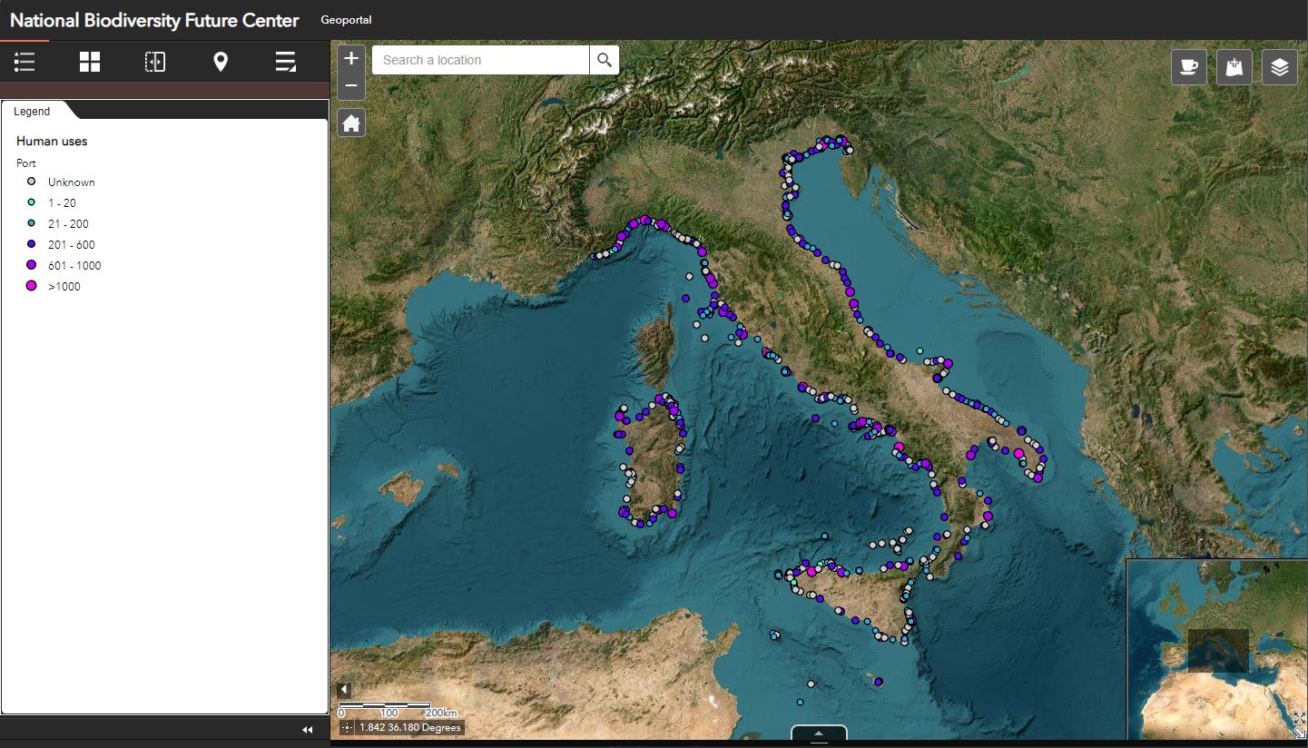
Italian ports
List of Italian ports divided by typology:
TOURIST PORT: entirely dedicated to pleasure craft with a concession, It does not host commercial traffic.
PUBLIC PORT: recreational places with more than one concession. Tourist and commercial motor ships arrive. If it is located in the city center or if it is not fenced.
PORTICLE: small port with limited access due to draft or size and few services.
PIERS: generally for boats < 10 m, but also for larger sizes. Usually floating, often seasonal, they may have places for pleasure. Even along the coast or on the beaches, not necessarily within a port.
FIELD BUOYS: for boats <10 m.
BOOTS: for boats >10 m.
COMMERCIAL PORT: it hosts commercial and recreational traffic.
CIRCLES: for the exclusive use of members of sailing clubs or clubs. They could host the port.
PORT CHANNEL: along rivers and canals, it may have places for pleasure.
WORKSITE: area dedicated to shipbuilding, could have places for pleasure craft
MERCHANT PORT: for exclusive use of merchant and commercial traffic. They have no places for pleasure.
MILITARY PORT: military area with no access. They have no places for pleasure.
FISHING PORT: for the exclusive use of the fishing unit. They have no places for pleasure.
EXCLUSIVE PORT: for the exclusive use of tourist complexes, private individuals or particular entities. They have no places for pleasure.
PASSENGER TERMINAL: for the exclusive use of ships carrying passenger traffic. They have no places for pleasure.
DOCK: usually hosts vessels, a small port without docks or an area within a larger port.
Base
- Data (Creazione)
- 2024-05-16
- Identificatore
- http://libeccio.bo.ismar.cnr.it:8080/geonetwork/srv/eng/catalog.search#/metadata/2688d716-0496-436b-a8dd-e85cf9e77541
- Crediti
- © NBFC
- Status
- Completato
- Frequenza di aggiornamento
- Secondo necessità
- Parole chiave
-
- nbfc
- port
- harbor
- GEMET - INSPIRE themes, version 1.0
-
- Transport networks
- Limitazione d’uso
- None
- Vincoli di fruibilità
- Altri vincoli
- Altri vincoli
- By request
- Vincoli di accesso
- Altri vincoli
- Altri vincoli
- By request
- Classificazione
- Riservato
- Tipo di rappresentazione spaziale
- Dati vettoriali
- Lingua dei metadati
- English
- Set dei caratteri dei metadati
- UTF8
- Tema
-
- Trasporto
- Descrizione
- Italy
))
- Identificatore del sistema di riferimento
- EPSG / EPSG:4326 - World Geodetic System 1984
informazioni sulla rappresentazione spaziale
- Livello di topologia
- Solo Geometria
- Oggetto di tipo geometrico
- Punto
- Conteggio oggetto geometrico
- 765
- Formato di distribuzione
-
-
Shapefile
(
.shp
)
-
Shapefile
(
.shp
)
- Livello
- Dataset
- Dataset
- Dataset
Conformità
- Data (Pubblicazione)
- 2020-10-09
- Spiegazione
- Validated in Geonetwork according to the ISO19115 rules (25/25) and the INSPIRE rules (30/30)
- Pass
- Yes
- Genealogia del dato – Processo di produzione
- Dataset provided by the Laboratorio di Geografia del Mare (MarGeoLab) - University of Naples Federico II in the framework of the NBFC. Source: http://777ilportolano.it
- Identificatore del file di metadati
- 2688d716-0496-436b-a8dd-e85cf9e77541 XML
- Lingua dei metadati
- English
- Set dei caratteri dei metadati
- UTF8
- Livello gerarchico
- Dataset
- Data dei metadati
- 2024-10-21T15:36:17
- Nome dello Standard dei metadati
- ISO 19115:2003/19139
- Versione dello Standard dei metadati
- 1.0