CNR-ISMAR
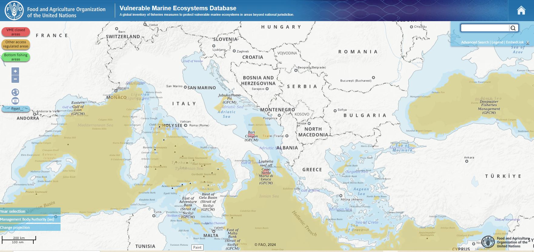
Vulnerable Marine Ecosystems Database (FAO)
Subdataset representing the Vulnerable Marine Ecosystems Database (VME) in the Mediterranean Sea from the FAO global inventory of fisheries measures to protect vulnerable marine ecosystems in areas beyond national jurisdiction. The vulnerable marine ecosystems database was developed in collaboration with the regional bodies with mandates to manage deep-sea fisheries in areas beyond national jurisdiction (ABNJ). It is a compilation of information on management measures taken to reduce current or potential impact on areas where VMEs are known or likely to occur.
Base
- Data (Pubblicazione)
- 2024-01-10
- Identificatore
- http://libeccio.bo.ismar.cnr.it:8080/geonetwork/srv/eng/catalog.search#/metadata/1eb24315-0b61-48e5-92bc-076b544ec5d0
- Crediti
- © FAO
- Status
- Completato
Fornitore della risorsa
National Research Council - Institute of Marine Science (CNR-ISMAR)
-
Giorgio Castellan
(
Postdoc
)
Telephone number of a facsimile machine for the responsible organization or individual
https://orcid.org/my-orcid?orcid=0000-0001-6084-1504
Address line for the location
,
City of the location
,
ZIP or other postal code
,
Country of the physical address
Telephone number at which the organization or individual may be contacted
Telephone number of a facsimile machine for the responsible organization or individual
https://orcid.org/my-orcid?orcid=0000-0001-6084-1504
- Frequenza di aggiornamento
- Secondo necessità
- Parole chiave
-
- conservation
- protection
- vme
- vulnerable marine ecosystem
- fra
- fishery restricted area
- nbfc
- GEMET - INSPIRE themes, version 1.0
-
- Protected sites
- Limitazione d’uso
- None
- Vincoli di fruibilità
- Altri vincoli
- Altri vincoli
- https://www.fao.org/contact-us/terms/en/
- Vincoli di accesso
- Altri vincoli
- Altri vincoli
- https://www.fao.org/contact-us/terms/en/
- Classificazione
- Non riservato
- Tipo di rappresentazione spaziale
- Dati vettoriali
- Lingua dei metadati
- English
- Set dei caratteri dei metadati
- UTF8
- Tema
-
- Ambiente
- Biologia
N
S
E
W
))
- Informazioni supplementari
- Mediterranean basin
- Identificatore del sistema di riferimento
- EPSG / Coordinate system (e.g. EPSG:4326 - World Geodetic System 1984)
informazioni sulla rappresentazione spaziale
No information provided.
- Livello di topologia
- Solo Geometria
- Oggetto di tipo geometrico
- Punto
- Conteggio oggetto geometrico
- 5
- Formato di distribuzione
-
-
Shapefile
(
.shp
)
-
Shapefile
(
.shp
)
Distributore
National Research Council - Institute of Marine Science (CNR-ISMAR))
-
Director
(
Director
)
- Risorsa online
-
Source
(
WWW:LINK-1.0-http--link
)
Website
- Livello
- Dataset
- Dataset
- Dataset
Conformità
- Data (Pubblicazione)
- 2020-10-09
- Spiegazione
- Validated in Geonetwork according to the ISO19115 rules (25/25) and the INSPIRE rules (30/30)
- Pass
- Yes
- Genealogia del dato – Processo di produzione
- General explanation of the data producer_s knowledge about the lineage of a dataset
- Identificatore del file di metadati
- 1eb24315-0b61-48e5-92bc-076b544ec5d0 XML
- Lingua dei metadati
- English
- Set dei caratteri dei metadati
- UTF8
- Livello gerarchico
- Dataset
- Data dei metadati
- 2024-01-15T10:23:52
- Nome dello Standard dei metadati
- ISO 19115:2003/19139
- Versione dello Standard dei metadati
- 1.0