 CNR-ISMAR
GEOTIFF
Type of resources
Topics
INSPIRE themes
Provided by
Years
Formats
Representation types
Update frequencies
status
-
Data collected in April 2023 by CNR- ISMAR VE within the MAELSTROM project with the aim to map marine litter on the seafloor
-

Data collected in December 2023 by CNR- ISMAR VE within the MAELSTROM project with the aim to map marine litter on the seafloor
-

Data collected in December 2023 by CNR- ISMAR VE within the MAELSTROM project with the aim to map marine litter on the seafloor
-

Data collected in May 2023 by CNR- ISMAR VE within the MAELSTROM project with the aim to map marine litter on the seafloor
-
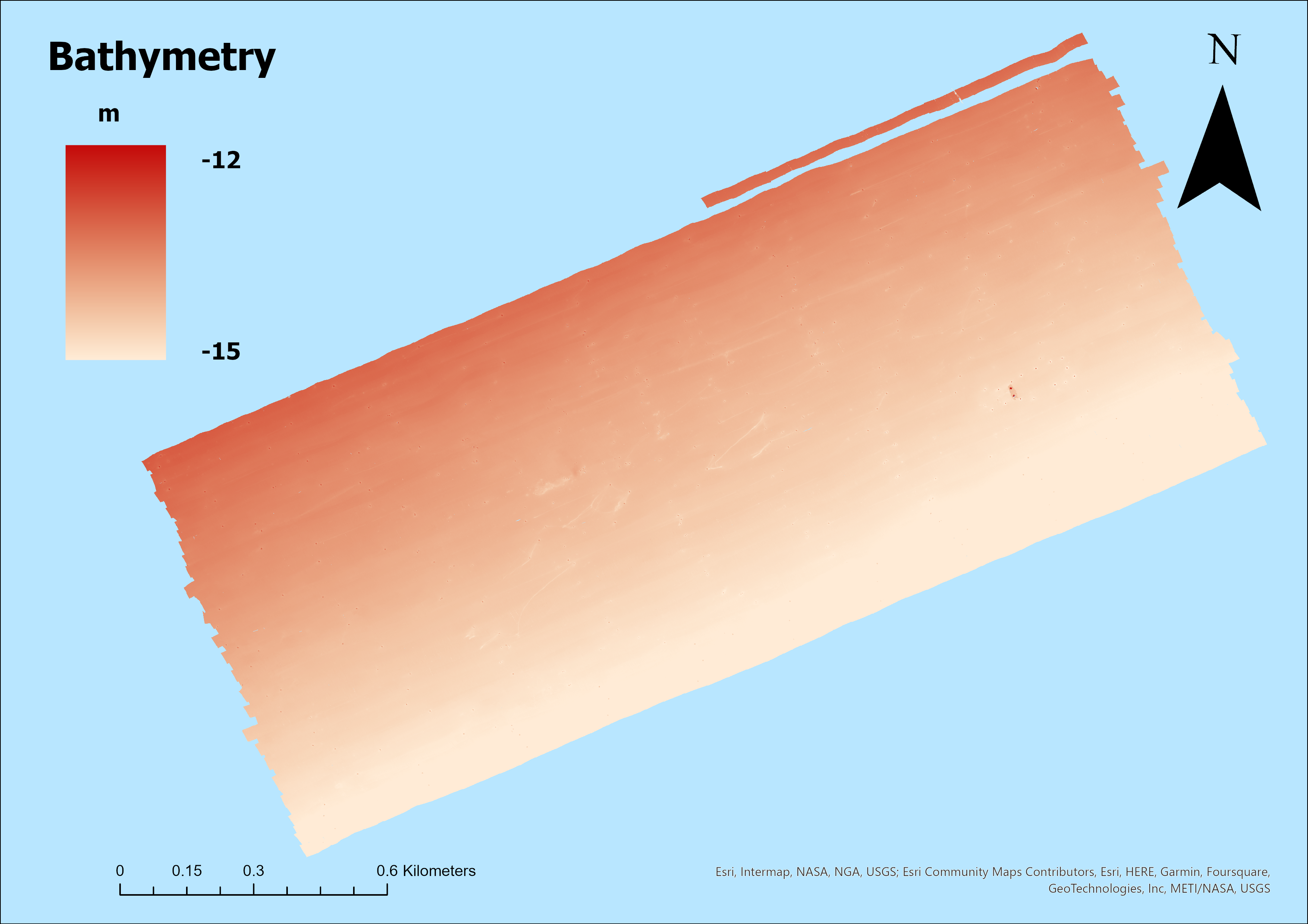
The bathymetry was acquired in 2013 in the Grand Canal (Venice) as part of the RITMARE (La Ricerca ITaliana per il MARE) research project. The data were collected using a Kongsberg EM-2040 dual-head multibeam system operating at 360 kHz, mounted on the CNR Litus vessel, and subsequently processed with Kongsberg SIS software. The information acquired was integrated with sound velocity profiles and georeferenced using the Seapath 300 positioning system. This survey will serve as a basis for comparison with data collected ten years later, in 2023, in order to assess any morphological and sedimentological changes in the bottom of the Grand Canal.
-
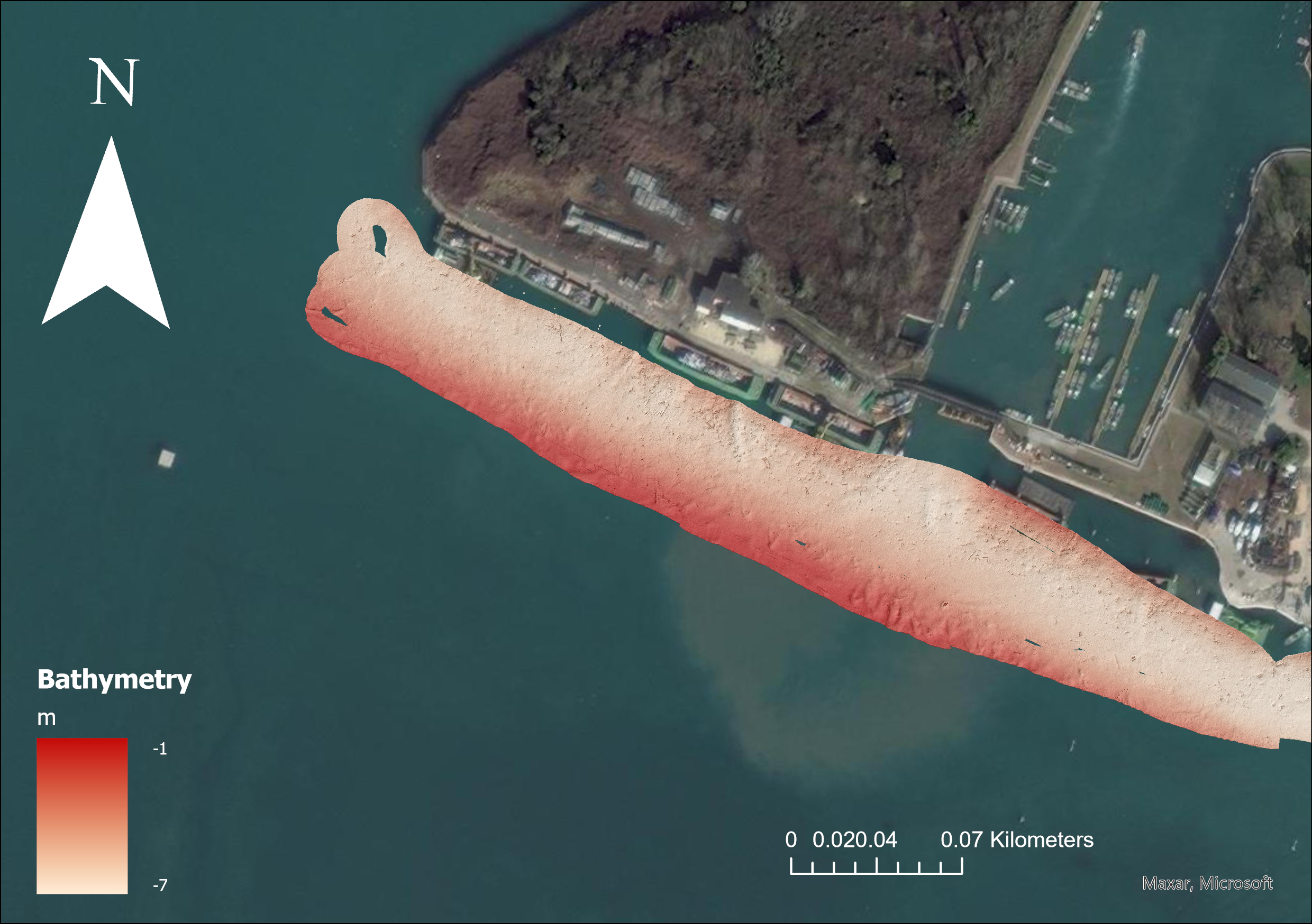
Data collected in October 2021 by CNR- ISMAR VE within the MAELSTROM project with the aim to map marine litter on the seafloor
-
Data collected in February 2022 by CNR- ISMAR VE within the MAELSTROM project with the aim to map marine litter on the seafloor
-

Data collected in May 2022 by CNR- ISMAR VE within the MAELSTROM project with the aim to map marine litter on the seafloor
-
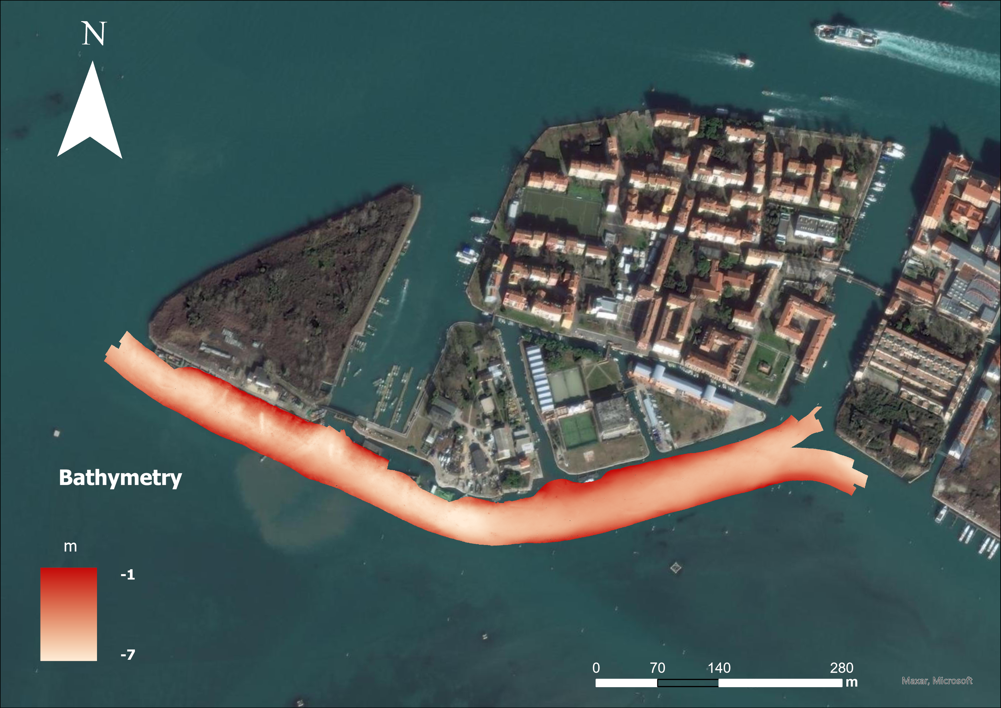
Data collected in November 2022 by CNR- ISMAR VE within the MAELSTROM project with the aim to map marine litter on the seafloor
-

Data collected in May 2023 by CNR- ISMAR VE within the MAELSTROM project with the aim to map marine litter on the seafloor