 CNR-ISMAR
Web Map Service
Type of resources
Topics
INSPIRE themes
Provided by
Formats
Representation types
-
Digital Elevation Model (DEM) at 102x102 meters cell resolution showing the topography and the water depth of the CORSUB study area.
-
Type of substrate characterizing the seabed (i.e. rock, sand, pelite).
-
Digital Elevation Model (DEM) with a 15x15 meters cell resolution showing the topography and the water depth of the study area.
-
Grab samples revealed the occurrences of living CCA (Bracchi, unpublished thesis), even though they never clarified the occurrence of reefs such as coralligenous, nor the reason for such unique shapes.
-

Biological component of the benthic habitat map of the Campania Region produced in the framework of the FEAMP-ISSPA Project by CNR-ISMAR
-

Substrate of the benthic habitat map of the Campania Region produced in the framework of the FEAMP-ISSPA Project by CNR-ISMAR
-
Shaded relief of the DEM "Bathymetry" considering the illumination source angle and shadows (hillshade).
-

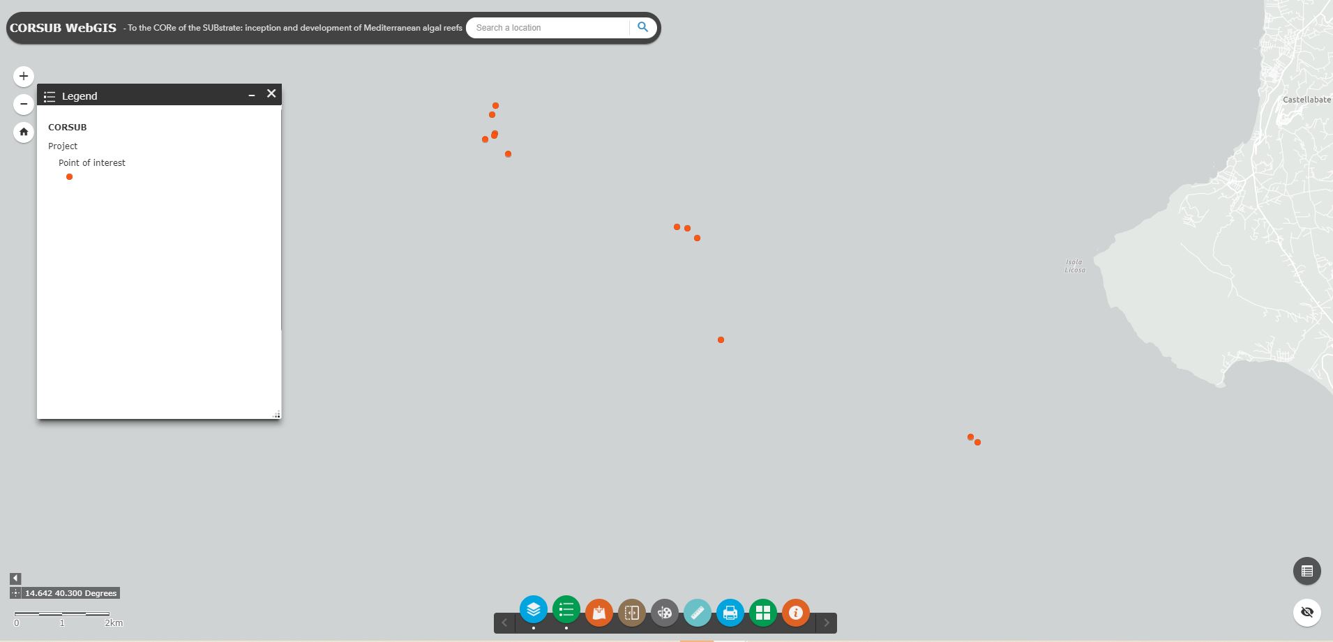
CORSUB project areas defined at proposal stage of the project
-
Geomorphologic features (ie, fault, margin, terrace) that has been created by natural Earth processes or by human activity.
-
Shaded relief of the DEM "HR bathymetry" considering the illumination source angle and shadows (hillshade).