 CNR-ISMAR
Creation year
2025
Type of resources
Topics
INSPIRE themes
Provided by
Years
Formats
Representation types
Update frequencies
status
From
1
-
3
/
3
-
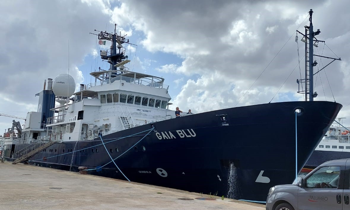
Second oceanographic campaign of the CORSUB Project curried out on board of GAIA BLU R/V from the 9th to the 20th of December 2024 in front of Punta Licosa, Tyrrhenian Sea (Campania Region).
-
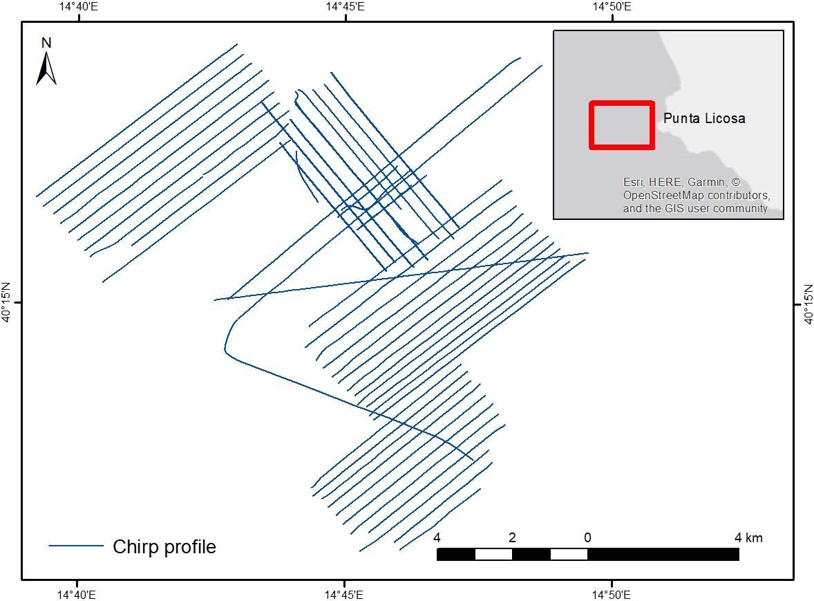
Chirp profiles acquired in the framework of the CORSUB Project during the TREMOR24 oceanographic campaign
-
Video footage of the seabed recorded by drop-frame in the Treporti Channel (1.6 km2), the Burano Channel (1.56 km2), the San Felice Channel (0.82 km2) and minor channels namely Scanello, San Antonio, Gaggian, and Riga channels, covering a total area of 4.45 km2. The surveyed channels are in the northern part of the Lagoon.