Survey J71
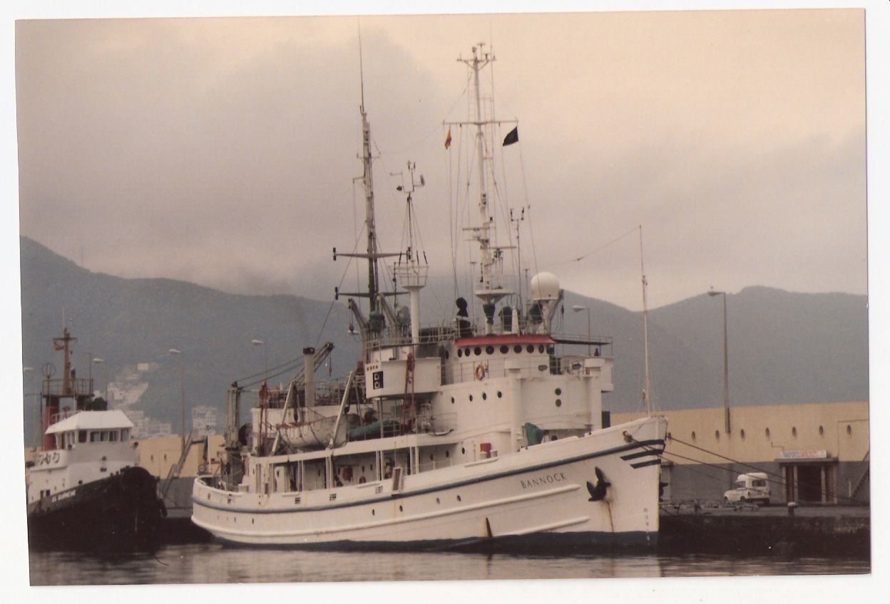
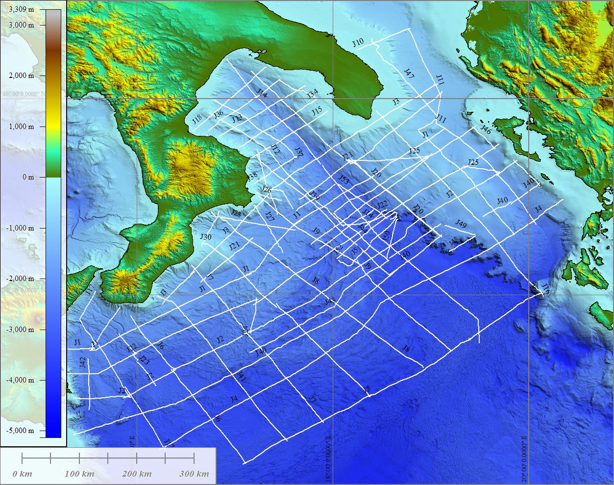
The survey has been carried out on board of the R/V Bannock - CNR. During the cruise, a preliminary survey which main aim was the tectonics and stratigraphic reconstruction of Ionian Sea, a grid of single channel seismic profiles was collected using a 30 kJ - Sparker source (Teledyne Exploration, Houston - USA). From the original radio navigation system Loran-C, the coordinates have been later converted into geographical. The sparker profiles total 530 nm. The areas investigated during the survey J71 are: the eastern offshore of Calabria between Capo Spartivento and Punta Alice form the continental shelf to the abyssal plain (seismic profiles J71-J). The cruise has been carried out from 24th August to 11th September 1971. A. Ferriani was part of the technical team. PI was the Dr. S. Rossi.
Simple
- Date (Creation)
- 2021-05-07
- Presentation form
- Digital document
- Credit
- © CNR-ISMAR
- Status
- On going
- Maintenance and update frequency
- As needed
- Survey
-
- J71
- Survey type
-
- Geophysics
- Seismic
- Geology
- seismo-stratigraphy
- Device
-
- Sparker
- Keywords
-
- oceanographic cruise
- seismic survey
- GEMET - INSPIRE themes, version 1.0
-
- Natural risk zones
- Geology
- Use limitation
- none
- Access constraints
- Other restrictions
- Other constraints
- Data policy of the project (link)
Resource constraints
No information provided.
- Use constraints
- Other restrictions
- Other constraints
- Data policy of the project (link)
- Classification
- Unclassified
- Metadata language
- Italiano
- Topic category
-
- Geoscientific information
N
S
E
W
))
- Supplemental Information
- Northern Ionian Sea
- Distribution format
-
-
PDF
(
.pdf
)
-
PDF
(
.pdf
)
- Hierarchy level
- Dataset
- Other
- Report
Conformance result
- Date (Revision)
- 2020-11-13
- Explanation
- Validated in Geonetwork according to the ISO19115 rules (24/24)
- Pass
- Yes
- Statement
- The cruise report was produced in 1973
- File identifier
- 32119f30-0895-401f-8365-2ce7525e6896 XML
- Metadata language
- English
- Character set
- UTF8
- Hierarchy level
- Dataset
- Hierarchy level name
- Report
- Date stamp
- 2022-07-25T17:20:12
- Metadata standard name
- ISO 19115:2003/19139
- Metadata standard version
- 1.0
Overviews


Spatial extent
N
S
E
W
))
Provided by

Associated resources
Not available
 CNR-ISMAR